Trail On foot Venouse - Venouse la Grange - Photo
 JMC89
JMC89

User

© OpenStreetMap contributors
Length
Length
8 km
Max alt
Max alt
174 m
Uphill gradient
Uphill gradient
82 m
Km-Effort
Km-Effort  
9.1 km
Min alt
Min alt
113 m
Downhill gradient
Downhill gradient
86 m
Boucle
Boucle
Yes
Creation date :
2023-05-12 13:04:40.653
Updated on :
2024-04-14 17:25:30.367

(1 Reviews)

On foot
On foot
2h03
Difficulty : Easy

Scan this QR Code to open this trail in the SityTrail application

FREE GPS app for hiking

Logo SityTrail SityTrail

IGN / Geographical institutes

Download SityTrail from the App Store Download SityTrail from Google Play

Logo SityTrail SityTrail World

The world is yours!

Download SityTrail from the App Store Download SityTrail from Google Play Download SityTrail on Huawei AppGallery

About

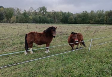
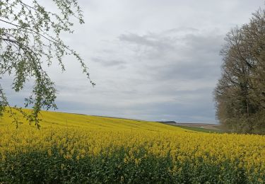
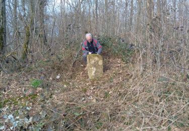
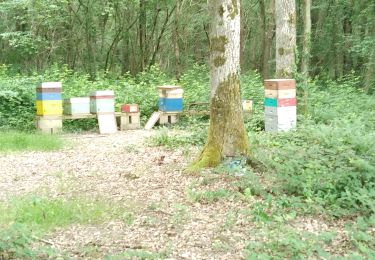
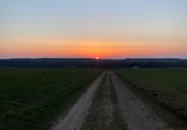
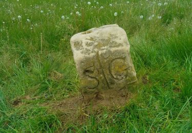
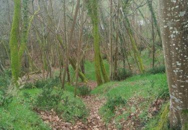
Trail On foot of 8 km to be discovered at Bourgogne-Franche-Comté, Yonne, Venouse. This trail is proposed by JMC89.

Description

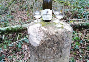
Départ de la Grange de Beauvais et retour via Venouse. Ravitaillement à Venouse au 5 km.

Elevation profile

Points of interest

Point of interest Montigny-la-Resle - Ravitaillement - Photo
JMC89
MONTIGNY-LA-RESLE 

Positioning

Country:
France
Region :
Bourgogne-Franche-Comté
Department/Province :
Yonne
Municipality :
Venouse
Location:
Unknown
Start:(UTM)
552357 ; 5305012 (31T) N.

Comments

Please log in to post a review or rate the element


Trails nearby

Trail Walking Montigny-la-Resle - Randonnée Montigny la Resle - Photo
Walking
HF89

Walking

Easy
Montigny-la-Resle, Bourgogne-Franche-Comté, Yonne, France
12.4 km | 14.5 km-effort
2h 54min
Yes
Trail Walking Maligny - Boucle autour de Maligny 89 - Photo
Walking
HF89

Walking

Easy
Maligny, Bourgogne-Franche-Comté, Yonne, France
10.8 km | 12.7 km-effort
2h 27min
Yes
Trail Walking Montigny-la-Resle -  ZB9 et  ZB10 - Bornage 1728  - 13022024 - Photo
Walking
gpcadu

Walking

Easy
Montigny-la-Resle, Bourgogne-Franche-Comté, Yonne, France
2.6 km | 3.1 km-effort
42min
Yes
Trail Walking Montigny-la-Resle - Borne Cistercienne 10 - Photo
Walking
gpcadu

Walking

Easy
Montigny-la-Resle, Bourgogne-Franche-Comté, Yonne, France
2.1 km | 2.4 km-effort
32min
Yes
Trail Walking Vergigny - BORNES EN COURS BAUDIERES - Photo
Walking
gpcadu

Walking

Difficult
Vergigny, Bourgogne-Franche-Comté, Yonne, France
14.1 km | 15.7 km-effort
1h 1min
No
Trail Walking Venouse - G Beauvais 260522 - Photo
Walking
gpcadu

Walking

Medium
Venouse, Bourgogne-Franche-Comté, Yonne, France
9.3 km | 10.2 km-effort
2h 10min
No
Trail Running Ligny-le-Châtel - Circuit autour de Ligny le chatel - Photo
Running
choubaka77

Running

Easy
Ligny-le-Châtel, Bourgogne-Franche-Comté, Yonne, France
8.7 km | 10 km-effort
58min
No
Trail Walking Rouvray - Borne ZB13 - Photo
Walking
gpcadu

Walking

Easy
Rouvray, Bourgogne-Franche-Comté, Yonne, France
440 m | 496 m-effort
22min
Yes
Trail Walking Vergigny - Borne ZC10 - Photo
Walking
gpcadu

Walking

Easy
Vergigny, Bourgogne-Franche-Comté, Yonne, France
1.3 km | 1.6 km-effort
21min
Yes


Close
My subscriptions