


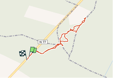


8 km | 9.1 km-effort

User


FREE GPS app for hiking
 SityTrail
IGN / Geographical institutes
SityTrail World
The world is yours!
Trail Walking of 2.1 km to be discovered at Bourgogne-Franche-Comté, Yonne, Montigny-la-Resle. This trail is proposed by gpcadu.
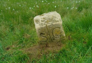
Située à l'intersection des communes de Venouse et Pontigny et Lignorelles (Soully)
Département/Province : Yonne
Commune :Pontigny
Localisation 47,878808 / 3,702565
Date de création : 28/12/2023 10:12
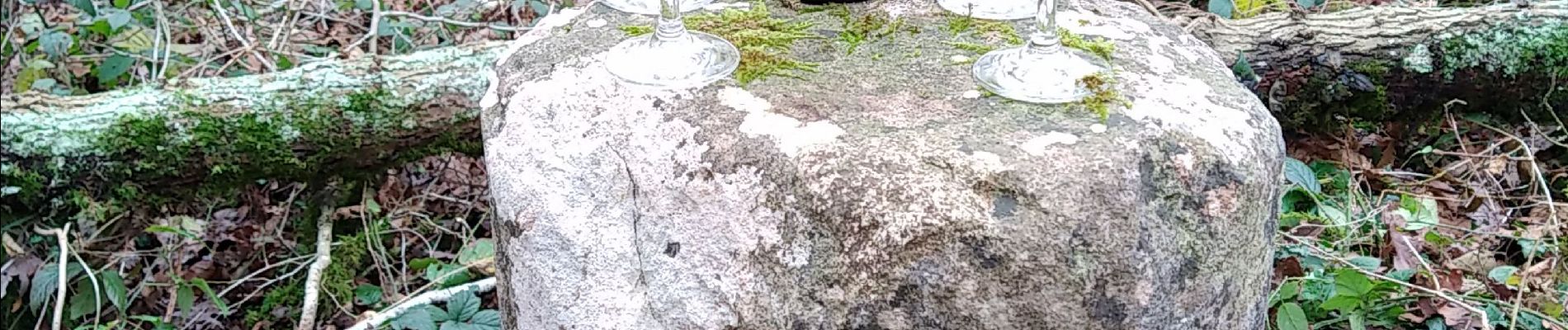
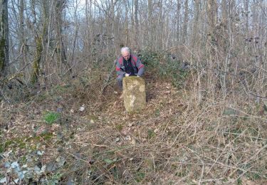
La recherche des bornes 9 et 8 n'a pas été fructueuse ...


On foot
Walking

Walking
Walking
Walking
Running
Walking
On foot
Walking