


Vignols- Les Bardissières

houbart
User


Length
3.2 km

Max alt
291 m

Uphill gradient
132 m
Km-Effort
4.9 km

Min alt
176 m

Downhill gradient
132 m
Boucle
Yes
Creation date :
2019-03-28 15:47:34.394
Updated on :
2019-03-28 15:47:34.458
1h03
Difficulty : Easy

FREE GPS app for hiking
 SityTrail
IGN / Geographical institutes
SityTrail Plus
The world is yours!
About
Trail Walking of 3.2 km to be discovered at New Aquitaine, Corrèze, Vignols. This trail is proposed by houbart.
Description
Départ de Vignols, place du 11 Novembre (Eglise). Itinéraire fléché.
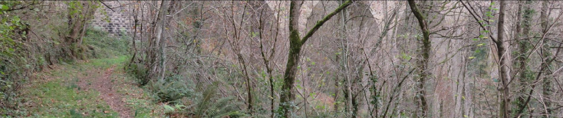
Photos


Positioning
Country:
France
Region :
New Aquitaine
Department/Province :
Corrèze
Municipality :
Vignols
Location:
Unknown
Start:(Dec)
Start:(UTM)
373766 ; 5019673 (31T) N.
Comments