


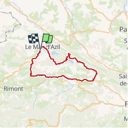

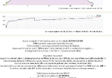
16.2 km | 23 km-effort

User


FREE GPS app for hiking
 SityTrail
IGN / Geographical institutes
SityTrail World
The world is yours!
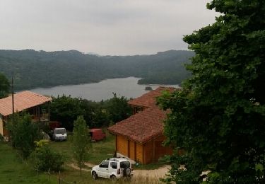
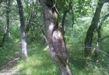
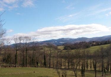
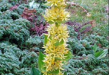
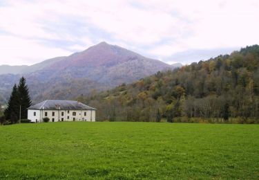
Trail Mountain bike of 48 km to be discovered at Occitania, Ariège, Le Mas-d'Azil. This trail is proposed by seb31410.
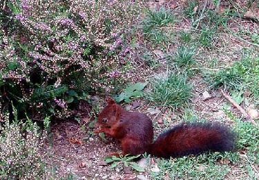
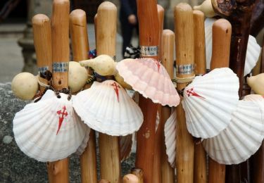
Rando super sympa !!

Walking
Walking
Walking
Walking
Mountain bike
Equestrian
Equestrian
Equestrian
Equestrian