


14.7 km | 17.5 km-effort


User


FREE GPS app for hiking
 SityTrail
IGN / Geographical institutes
SityTrail World
The world is yours!
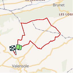
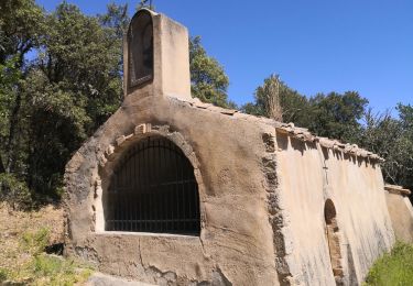
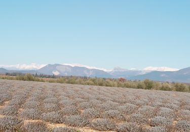
Trail Walking of 16.4 km to be discovered at Provence-Alpes-Côte d'Azur, Alpes-de-Haute-Provence, Valensole. This trail is proposed by ARPF.
P1 T1 Mireille 29/11/14
Une partie est mal enregistrée


Walking
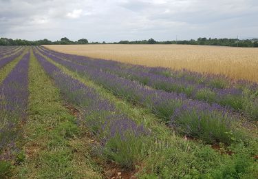
Walking
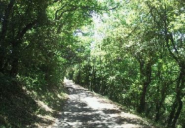
Walking
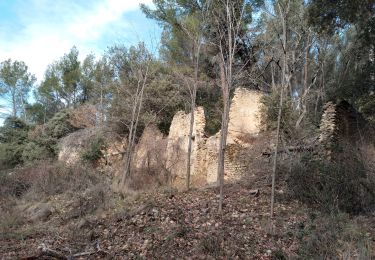
Walking
Walking

Walking
Walking
Walking
Walking