


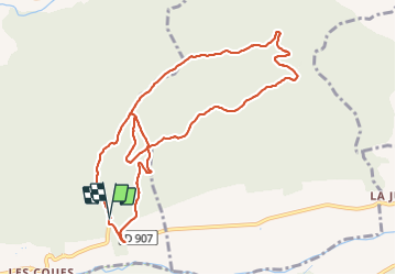

6.6 km | 7.6 km-effort

User


FREE GPS app for hiking
 SityTrail
IGN / Geographical institutes
SityTrail World
The world is yours!
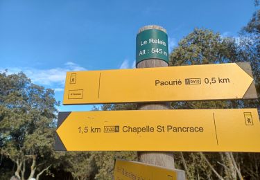
Trail Walking of 11 km to be discovered at Provence-Alpes-Côte d'Azur, Alpes-de-Haute-Provence, Oraison. This trail is proposed by Roger .
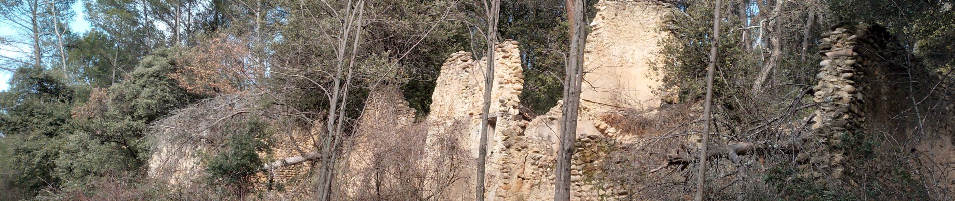
éviter le sentier qui longe la limite domaniale ,très pentu


Walking
Walking
Walking
Walking
Walking
Walking
Mountain bike

Bicycle tourism
Road bike