


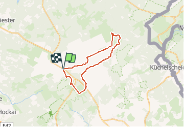

16.7 km | 22 km-effort

User


FREE GPS app for hiking
 SityTrail
IGN / Geographical institutes
SityTrail World
The world is yours!
Trail Walking of 20 km to be discovered at Wallonia, Liège, Jalhay. This trail is proposed by jacqueschouffart.
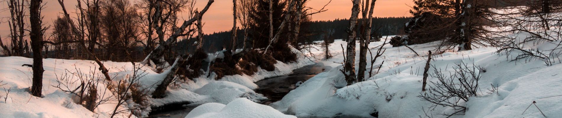
Au départ de la Baraque Michel, cette balade de 20km autour de la Helle passe par le Noir Flohay, le Geitzbusch pour atteindre la Helle au pont de Herzogenhügel et remonter celle-ci pour retourner au point de départ.


Walking

Walking


Walking
Walking
Walking
Walking
Walking
Walking
certains chemins ont disparu.