


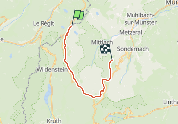

23 km | 36 km-effort

User GUIDE


FREE GPS app for hiking
 SityTrail
IGN / Geographical institutes
SityTrail World
The world is yours!
Trail Walking of 15.4 km to be discovered at Grand Est, Haut-Rhin, Metzeral. This trail is proposed by holtzv.
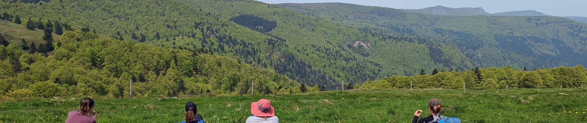
Marche sur 2 jours et demi autour du massif du Hohneck avec deux nuitées en bivouac
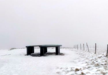
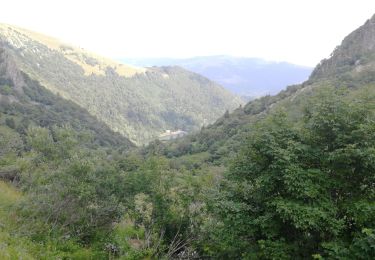
Jour 3/3 : Départ depuis le Firstmiss pour faire toute la crête jusqu’au col du Hahnenbrunnen et son refuge en passant par le Rainkopf, le Rothenbachkopf, le Batteriekopf et le Schweiselwasen. Retour sur le parking du Schnepfenried en passant par l’auberge du Salzbach et du Uff-Rain, le col du Platzerwaesel et la crête du Schnepfenried.


Walking
Walking
Walking

Walking
Walking

Walking

Walking

Walking

Walking