


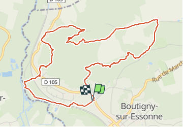

12.5 km | 14.8 km-effort


User


FREE GPS app for hiking
 SityTrail
IGN / Geographical institutes
SityTrail World
The world is yours!
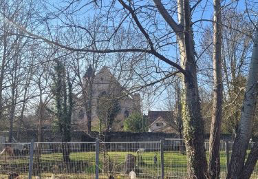
Trail Walking of 6.4 km to be discovered at Ile-de-France, Essonne, Boutigny-sur-Essonne. This trail is proposed by guydu41.
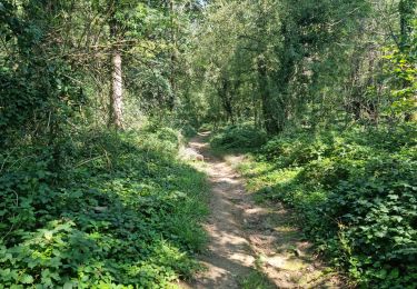
Très belle petite randonnée sur des chemins et des sentiers tortueux dans le massif boisé au Nord de Boutigny-sur-Essonne.
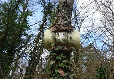
Le circuit longe et domine plusieurs vallées encaissées et carrières de grès.
Un petit crochet permet de voir la base d'un ancien bloc gréseux exploité par les carriers.


Walking
Walking
Walking
Walking

Walking

Walking
On foot
Walking

Walking