


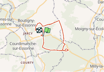


21 km | 24 km-effort


User


FREE GPS app for hiking
 SityTrail
IGN / Geographical institutes
SityTrail World
The world is yours!
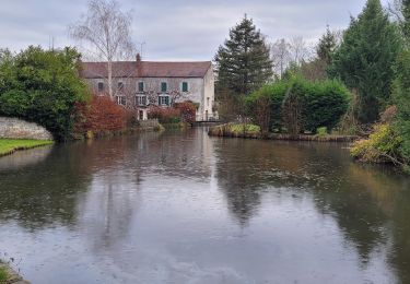
Trail Walking of 13 km to be discovered at Ile-de-France, Essonne, Boutigny-sur-Essonne. This trail is proposed by randodan.
- Jeudi 2 mars 2017 -<br>
Recherche des Grottes ornés de Malabry.<br>
En même temps, RECO pour une éventuelle future rando M&R.<br>
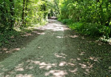
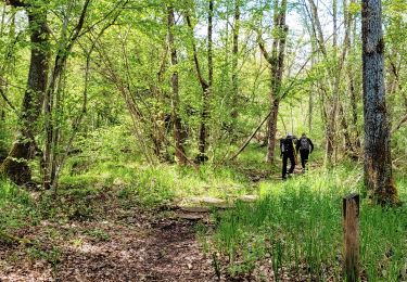
Départ 9h20 du "parking" du Pressoir . Butte des Audigers, et ben non, on ne trouvera pas les grottes ornées :o(. Dans le Bois de Malabry, le sentier a complètement disparu . La voie romaine à travers champs (plus de 2 km) est trop longue, faudra trouver autre chose pour M&R.<br>
12h40, trouvons enfin un bon coin pour le pique-nique . Bon anniversaire Mireille !<br>
Une heure après, repartons et retrouvons le GR1 qui nous ramène aux voitures à 15h <SMALL>(où une mauvaise surprise attend Mireille : vitre brisée)</SMALL>.<br>
Mi JP Da


On foot

Walking

Walking
Walking
Walking

Walking
Walking
Walking
Walking