Trail Walking Champcueil - Champcueil - Photo
 guydu41
guydu41

User

© OpenStreetMap contributors
Length
Length
8.2 km
Max alt
Max alt
152 m
Uphill gradient
Uphill gradient
151 m
Km-Effort
Km-Effort  
10.2 km
Min alt
Min alt
89 m
Downhill gradient
Downhill gradient
152 m
Boucle
Boucle
Yes
Creation date :
2023-05-27 11:56:25.815
Updated on :
2023-05-27 18:46:10.788

(0 Reviews)

Walking
Walking
2h19
Difficulty : Medium

Scan this QR Code to open this trail in the SityTrail application

FREE GPS app for hiking

Logo SityTrail SityTrail

IGN / Geographical institutes

Download SityTrail from the App Store Download SityTrail from Google Play

Logo SityTrail SityTrail World

The world is yours!

Download SityTrail from the App Store Download SityTrail from Google Play Download SityTrail on Huawei AppGallery

About

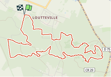
Trail Walking of 8.2 km to be discovered at Ile-de-France, Essonne, Champcueil. This trail is proposed by guydu41.

Description

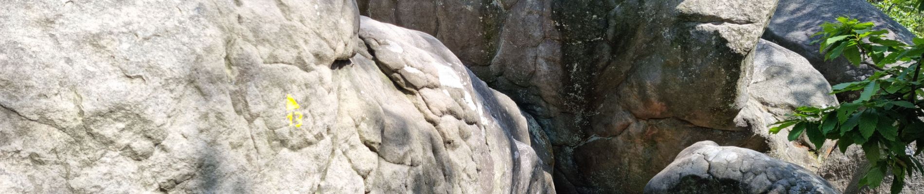
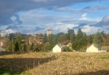
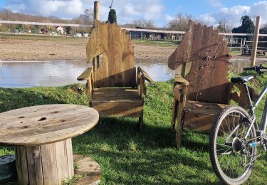
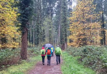
Très beau circuit parmi les chaos rocheux de la Forêt Départementale des Grands Avaux.
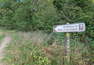
Le parcours emprunte des chemins et de nombreux sentiers tortueux à travers bois.
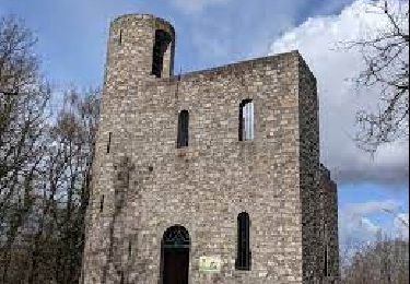
Découverte de la Tour du Buisson qui autrefois servait d'observatoire d'astronomie. Possibilité de monter à l'intérieur pour admirer le paysage environnant.

Elevation profile

Photos

33 photos in total. Please click on a photo to see them all in the gallery.

Positioning

Country:
France
Region :
Ile-de-France
Department/Province :
Essonne
Municipality :
Champcueil
Location:
Unknown
Start:(UTM)
460050 ; 5373010 (31U) N.

Trails nearby

Trail Walking Champcueil - JC 51 - 18,4 km - 320m - Champcueil, Les Grands Avaux - 23 km Effort - Photo
Walking

Walking

Difficult
(1)
Champcueil, Ile-de-France, Essonne, France
17.7 km | 22 km-effort
4h 58min
Yes
Trail On foot Champcueil - Balade entre Brie de Gâtinais - Photo
On foot
PRO

On foot

Easy
Champcueil, Ile-de-France, Essonne, France
13.1 km | 15.7 km-effort
3h 33min
No
Trail Walking Champcueil - Grands Avaux - Tertre blanc  (Nainville) - fait - Photo
Walking
nicolas93

Walking

Easy
(1)
Champcueil, Ile-de-France, Essonne, France
17.7 km | 22 km-effort
4h 51min
Yes
Trail Walking Mondeville - Boucle mondeville par videlles - Photo
Walking
Glurps

Walking

Very easy
(1)
Mondeville, Ile-de-France, Essonne, France
16.1 km | 18.6 km-effort
4h 2min
Yes
Trail Walking Saint-Germain-sur-École - Boucle soisy version definitif - Photo
Walking
chessyca

Walking

Easy
Saint-Germain-sur-École, Ile-de-France, Seine-et-Marne, France
22 km | 26 km-effort
4h 53min
Yes
Trail On foot Saint-Germain-sur-École - Boucle Soisy Sur Ecole - Photo
On foot
chessyca

On foot

Medium
(1)
Saint-Germain-sur-École, Ile-de-France, Seine-et-Marne, France
21 km | 25 km-effort
5h 39min
Yes
Trail On foot Champcueil - Boucle Beauvais 28 km - Photo
On foot
chessyca

On foot

Medium
Champcueil, Ile-de-France, Essonne, France
28 km | 34 km-effort
7h 41min
Yes
Trail Walking Champcueil - Boucle Champcueil - Photo
Walking
chessyca

Walking

Medium
Champcueil, Ile-de-France, Essonne, France
25 km | 30 km-effort
5h 38min
Yes
Trail Walking Ballancourt-sur-Essonne - Forêt Hospitalière de la Coudraye Ballancourt-sur-Essonne  - Photo
Walking
guydu41

Walking

Difficult
Ballancourt-sur-Essonne, Ile-de-France, Essonne, France
6.2 km | 8 km-effort
2h 11min
Yes


Close
My subscriptions