


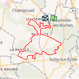

17.7 km | 22 km-effort


User


FREE GPS app for hiking
 SityTrail
IGN / Geographical institutes
SityTrail World
The world is yours!
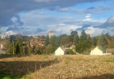
Trail Walking of 17.7 km to be discovered at Ile-de-France, Essonne, Champcueil. This trail is proposed by nicolas93.
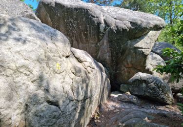
Déambulation par les rochers des Grands Avaux, puis dans la campagne environnante. Point de vue et formation géologique étonnante au "Tertre Blanc".
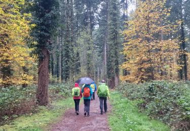
Un détour par le cimetière de Soissy Sur École permet d'admirer plusieurs étonnantes tombes de Gitans. Attention, passer uniquement par le PR si vous souhaitez éviter leur quartier de "La Joste", qui peut être intimidant, surtout à cause des chiens...
Walking
On foot

Walking
Walking
Walking

On foot
Walking
On foot
Walking