


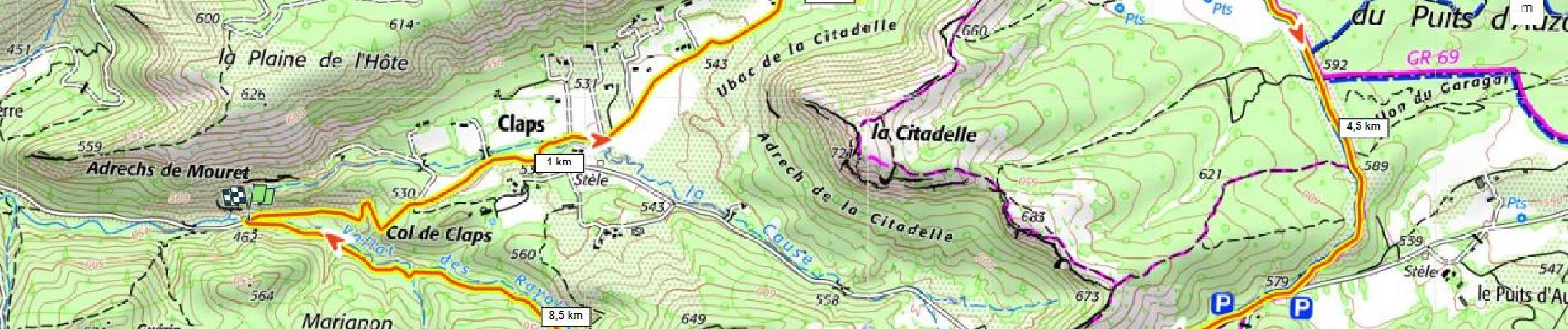
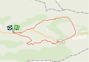
Obs de la Sinne D+290m

ericberlin
User


3h04
Difficulty : Difficult

FREE GPS app for hiking
 SityTrail
IGN / Geographical institutes
SityTrail Plus
The world is yours!
About
Trail Walking of 9.7 km to be discovered at Provence-Alpes-Côte d'Azur, Bouches-du-Rhône, Vauvenargues. This trail is proposed by ericberlin.
Description
https://www.myprovence.fr/les-guides/culture/musee/vauvenargues/observatoire-de-vauvenargues
L'été, consulter systématiquement la carte des conditions d’accès au massifs forestiers dans le 13 en fonction du risque d’incendie.
http://bpatp.paca-ate.fr/
ou téléphoner au 0811 20 13 13
Photos

Positioning
Comments