


RDP CORRENÇON J6

pconte
User
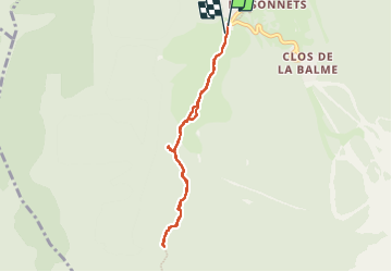

Length
7 km

Max alt
1278 m

Uphill gradient
151 m
Km-Effort
9 km

Min alt
1143 m

Downhill gradient
141 m
Boucle
Yes
Creation date :
2023-06-02 08:29:34.0
Updated on :
2023-06-02 10:55:57.992
2h25
Difficulty : Medium

FREE GPS app for hiking
 SityTrail
IGN / Geographical institutes
SityTrail Plus
The world is yours!
About
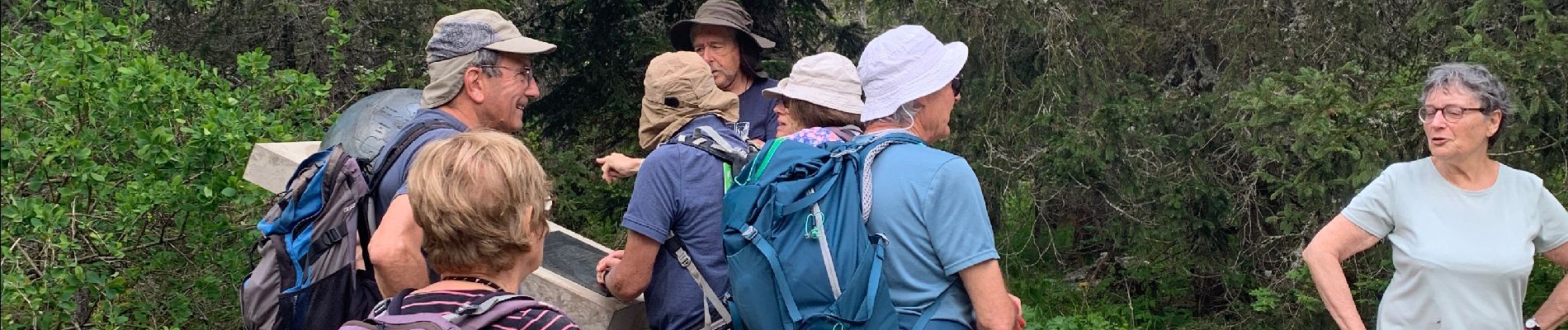
Trail Walking of 7 km to be discovered at Auvergne-Rhône-Alpes, Isère, Corrençon-en-Vercors. This trail is proposed by pconte.
Photos


Positioning
Country:
France
Region :
Auvergne-Rhône-Alpes
Department/Province :
Isère
Municipality :
Corrençon-en-Vercors
Location:
Unknown
Start:(Dec)
Start:(UTM)
698338 ; 4988741 (31T) N.
Comments