


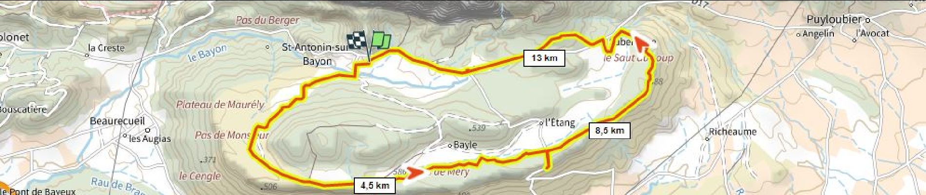
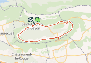
Tour du Cengle D+240m ( a essayer)

ericberlin
User

Length
15.6 km

Max alt
526 m

Uphill gradient
241 m
Km-Effort
18.8 km

Min alt
418 m

Downhill gradient
236 m
Boucle
Yes
Creation date :
2023-06-04 13:07:35.531
Updated on :
2023-06-04 13:10:15.418
1h18
Difficulty : Easy

FREE GPS app for hiking
 SityTrail
IGN / Geographical institutes
SityTrail Plus
The world is yours!
About
Trail Mountain bike of 15.6 km to be discovered at Provence-Alpes-Côte d'Azur, Bouches-du-Rhône, Saint-Antonin-sur-Bayon. This trail is proposed by ericberlin.
Description
Propriétés privées
Photos
 - Photo 1")
Positioning
Country:
France
Region :
Provence-Alpes-Côte d'Azur
Department/Province :
Bouches-du-Rhône
Municipality :
Saint-Antonin-sur-Bayon
Location:
Unknown
Start:(Dec)
Start:(UTM)
708936 ; 4821734 (31T) N.
Comments