


7.8 km | 12.6 km-effort


User GUIDE


FREE GPS app for hiking
 SityTrail
IGN / Geographical institutes
SityTrail World
The world is yours!
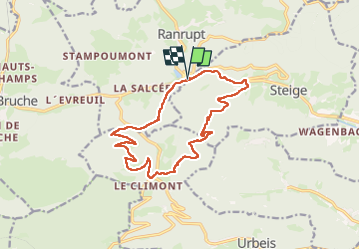
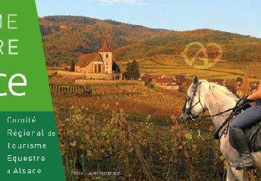
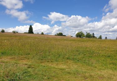
Trail Walking of 14.5 km to be discovered at Grand Est, Bas-Rhin, Ranrupt. This trail is proposed by holtzv.
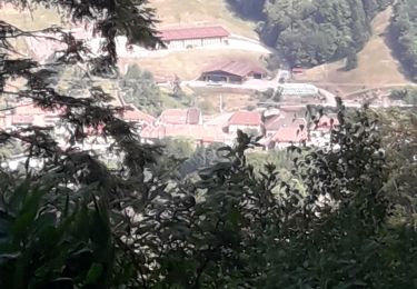
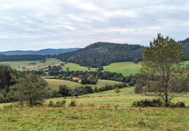
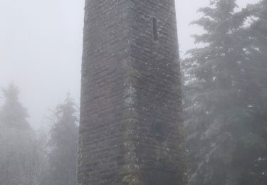
Boucle depuis le col de steige en passant par la tour du Climont (tour Julius), le grand sapin (coupé depuis 1958), cabane de la Hâle et le Mont


Walking
Horseback riding
Walking
Horseback riding

Horseback riding
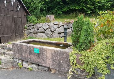
Walking
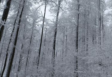
Snowshoes
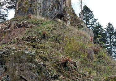
Walking
Walking