


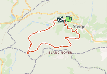
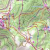

12.2 km | 17.7 km-effort


User


FREE GPS app for hiking
 SityTrail
IGN / Geographical institutes
SityTrail World
The world is yours!
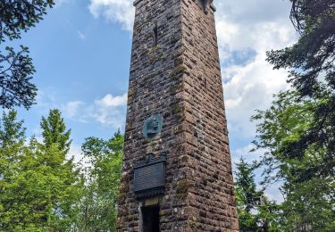
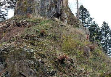
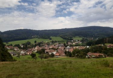
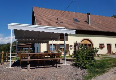
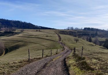
Trail Walking of 7.8 km to be discovered at Grand Est, Bas-Rhin, Steige. This trail is proposed by jean charles daniel..
belle rando en forêt avec petit dénivelés.


Walking
Walking

Mountain bike
Walking
Walking
Walking
Walking
Walking
Walking