


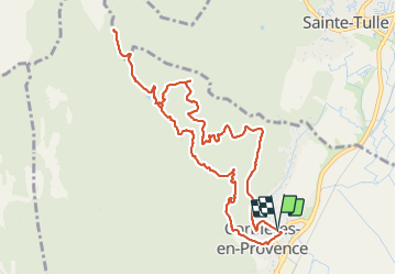

14.5 km | 16.4 km-effort

User GUIDE


FREE GPS app for hiking
 SityTrail
IGN / Geographical institutes
SityTrail World
The world is yours!
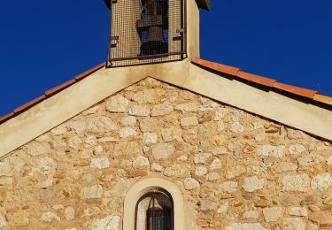
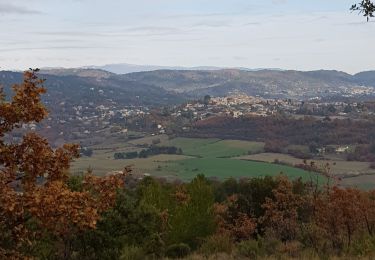
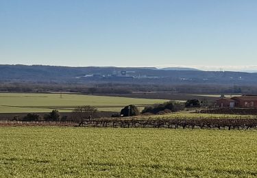
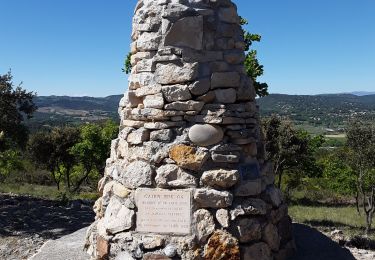
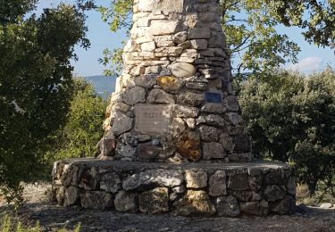
Trail Walking of 12.1 km to be discovered at Provence-Alpes-Côte d'Azur, Alpes-de-Haute-Provence, Corbières-en-Provence. This trail is proposed by Kargil.
Une proposition de tracé aux maximum sur des petits sentiers mais de nombreuses variantes possibles.
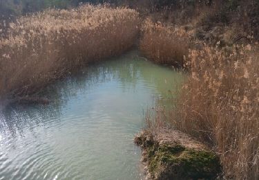
Randonnée faite quelques jours après de violents orages et donc beaucoup de débit d'eau.


Walking
Nordic walking
Walking
Walking
Walking
Walking
Walking
Walking
Walking