


MENTET à PY par le col de la llause

FAUCET
User
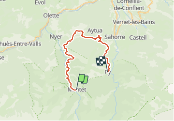

Length
24 km

Max alt
1531 m

Uphill gradient
844 m
Km-Effort
37 km

Min alt
853 m

Downhill gradient
1341 m
Boucle
No
Creation date :
2023-06-08 06:19:11.238
Updated on :
2023-06-08 15:37:13.455
6h53
Difficulty : Very difficult

FREE GPS app for hiking
 SityTrail
IGN / Geographical institutes
SityTrail Plus
The world is yours!
About
Trail Walking of 24 km to be discovered at Occitania, Pyrénées-Orientales, Mantet. This trail is proposed by FAUCET.
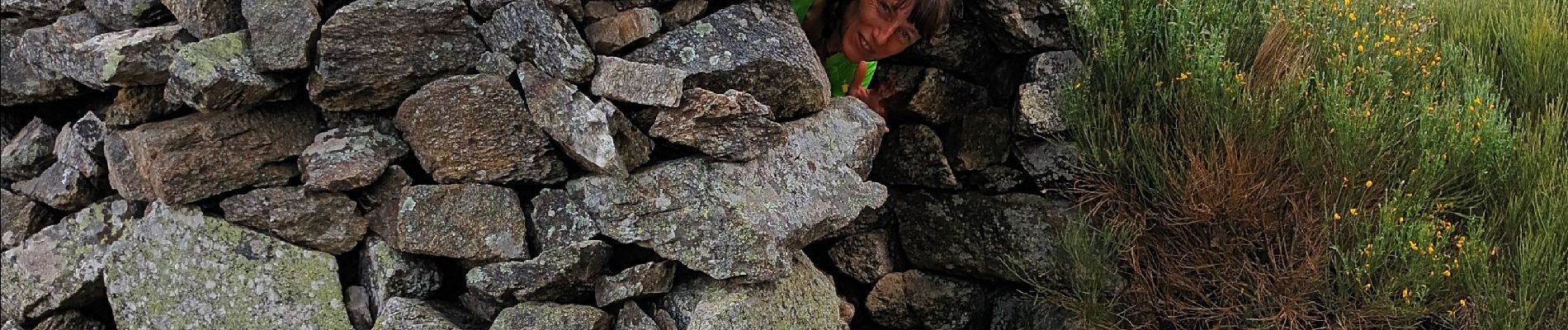
Photos


Positioning
Country:
France
Region :
Occitania
Department/Province :
Pyrénées-Orientales
Municipality :
Mantet
Location:
Unknown
Start:(Dec)
Start:(UTM)
442968 ; 4702968 (31T) N.
Comments