Trail Walking Presle - 2023-06-15 Prodin -Col de la Perche en boucle  - Photo

2023-06-15 Prodin -Col de la Perche en boucle

© OpenStreetMap contributors
Length
Length
12 km
Max alt
Max alt
1990 m
Uphill gradient
Uphill gradient
752 m
Km-Effort
Km-Effort  
22 km
Min alt
Min alt
1352 m
Downhill gradient
Downhill gradient
752 m
Boucle
Boucle
Yes
Creation date :
2023-06-15 07:44:31.86
Updated on :
2023-06-18 07:57:05.638

(0 Reviews)

Walking
Walking
4h34
Difficulty : Medium

Scan this QR Code to open this trail in the SityTrail application

FREE GPS app for hiking

Logo SityTrail SityTrail

IGN / Geographical institutes

Download SityTrail from the App Store Download SityTrail from Google Play

Logo SityTrail SityTrail World

The world is yours!

Download SityTrail from the App Store Download SityTrail from Google Play Download SityTrail on Huawei AppGallery

About

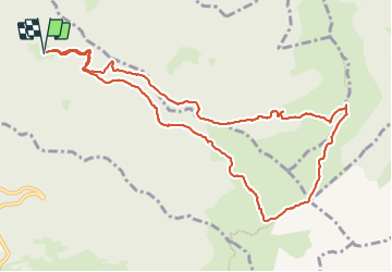
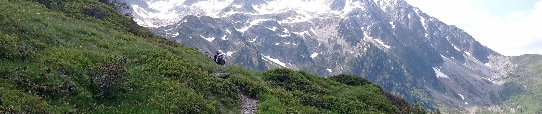
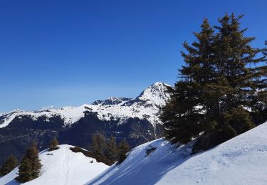
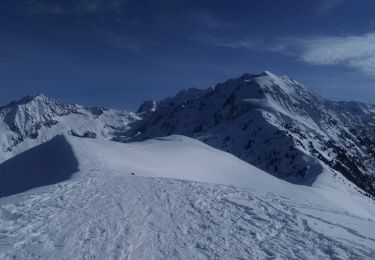
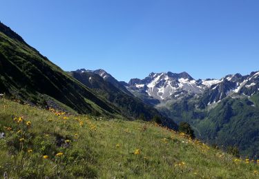
Trail Walking of 12 km to be discovered at Auvergne-Rhône-Alpes, Savoy, Presle. This trail is proposed by patpounet73.

Description

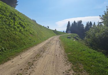
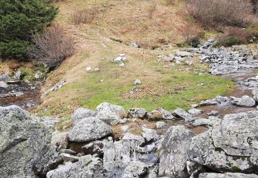
La route forestière qui permet de rejoindre la chapelle de Prodin depuis Presle n'est pas goudronnée.
Il faut compter une1/2 heure pour parcourir ces 6 kms.

Elevation profile

Photos

Positioning

Country:
France
Region :
Auvergne-Rhône-Alpes
Department/Province :
Savoy
Municipality :
Presle
Location:
Unknown
Start:(UTM)
278657 ; 5036212 (32T) N.

Trails nearby

Trail Walking Arvillard - Les Grands Moulins 2495m - Photo
Walking
tracegps

Walking

Difficult
(1)
Arvillard, Auvergne-Rhône-Alpes, Savoy, France
9 km | 20 km-effort
5h 0min
Yes
Trail Mountain bike Valgelon-La Rochette - plan perrier + montmayeur - Photo
Mountain bike
jbmathi

Mountain bike

Medium
(1)
Valgelon-La Rochette, Auvergne-Rhône-Alpes, Savoy, France
25 km | 34 km-effort
2h 49min
Yes
Trail Walking Presle - tour du chapoté  - Photo
Walking
Youcef Atallah

Walking

Very difficult
Presle, Auvergne-Rhône-Alpes, Savoy, France
13.2 km | 24 km-effort
3h 50min
Yes
Trail Walking Presle - Le chapotet au départ de Prodin - Photo
Walking
Zasa

Walking

Medium
Presle, Auvergne-Rhône-Alpes, Savoy, France
12.1 km | 23 km-effort
5h 0min
Yes
Trail Walking La Chapelle-du-Bard - Col de l'Occiput en raquettes - Photo
Walking
GuyVachet

Walking

Difficult
La Chapelle-du-Bard, Auvergne-Rhône-Alpes, Isère, France
4.5 km | 9.2 km-effort
3h 36min
Yes
Trail Touring skiing La Chapelle-du-Bard - Crête de la Plagne descente Nord - Photo
Touring skiing
nadd73

Touring skiing

Medium
La Chapelle-du-Bard, Auvergne-Rhône-Alpes, Isère, France
13 km | 30 km-effort
6h 24min
Yes
Trail Walking Presle - crete du Gargoton  - Photo
Walking
doumeherve

Walking

Medium
Presle, Auvergne-Rhône-Alpes, Savoy, France
8.8 km | 20 km-effort
3h 26min
Yes
Trail Walking Arvillard - Crete du Gargoton - Photo
Walking
GuyVachet

Walking

Difficult
Arvillard, Auvergne-Rhône-Alpes, Savoy, France
10 km | 19.8 km-effort
7h 18min
Yes
Trail Walking Arvillard - val pelouse - Photo
Walking
moisson.mc@gmail.com

Walking

Very easy
(1)
Arvillard, Auvergne-Rhône-Alpes, Savoy, France
7.7 km | 14.3 km-effort
3h 48min
No


Close
My subscriptions