


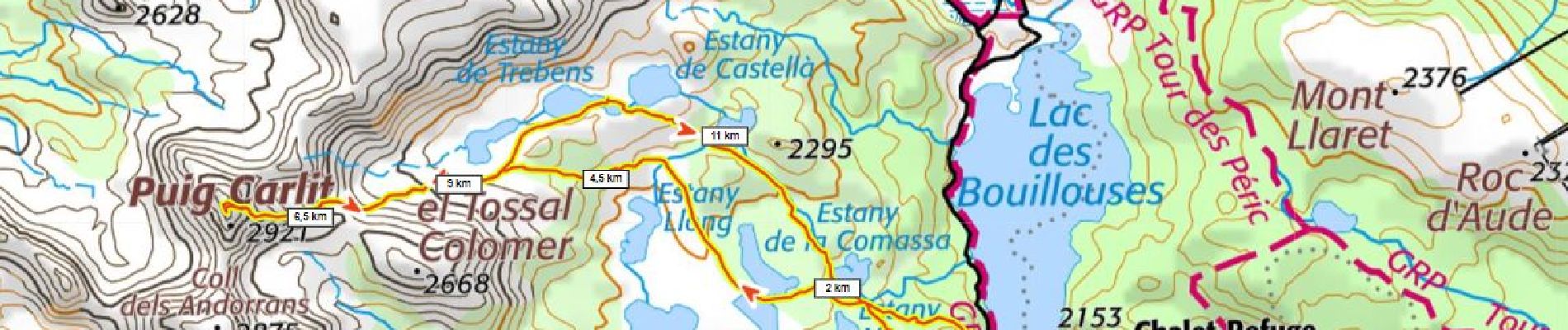
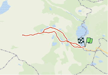
Carlit 950m+ depuis les Bouillouses

ericberlin
User

Length
14.5 km

Max alt
2886 m

Uphill gradient
936 m
Km-Effort
27 km

Min alt
2004 m

Downhill gradient
936 m
Boucle
Yes
Creation date :
2023-06-16 17:38:55.114
Updated on :
2023-06-16 17:41:22.529
6h40
Difficulty : Very difficult

FREE GPS app for hiking
 SityTrail
IGN / Geographical institutes
SityTrail Plus
The world is yours!
About
Trail Walking of 14.5 km to be discovered at Occitania, Pyrénées-Orientales, Les Angles. This trail is proposed by ericberlin.
Photos

Positioning
Country:
France
Region :
Occitania
Department/Province :
Pyrénées-Orientales
Municipality :
Les Angles
Location:
Unknown
Start:(Dec)
Start:(UTM)
418214 ; 4712447 (31T) N.
Comments