


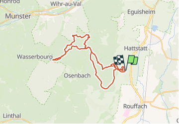
Pfaffenheim Col du Firstplan

duchaine.nicolas
User

Length
31 km

Max alt
812 m

Uphill gradient
858 m
Km-Effort
43 km

Min alt
230 m

Downhill gradient
858 m
Boucle
Yes
Creation date :
2023-06-17 08:15:25.727
Updated on :
2023-06-17 11:01:50.162
2h45
Difficulty : Easy
2h45
Difficulty : Easy

FREE GPS app for hiking
 SityTrail
IGN / Geographical institutes
SityTrail Plus
The world is yours!
About
Trail Mountain bike of 31 km to be discovered at Grand Est, Haut-Rhin, Pfaffenheim. This trail is proposed by duchaine.nicolas.
Positioning
Country:
France
Region :
Grand Est
Department/Province :
Haut-Rhin
Municipality :
Pfaffenheim
Location:
Unknown
Start:(Dec)
Start:(UTM)
372159 ; 5316545 (32T) N.
Comments