


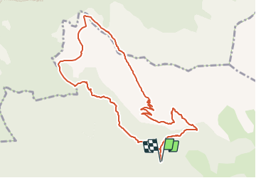

5.6 km | 15 km-effort

User


FREE GPS app for hiking
 SityTrail
IGN / Geographical institutes
SityTrail World
The world is yours!
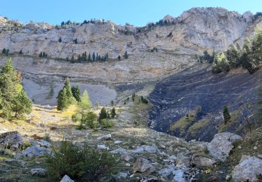
Trail Walking of 11.2 km to be discovered at Provence-Alpes-Côte d'Azur, Hautes-Alpes, Saint-Julien-en-Beauchêne. This trail is proposed by Marco05.
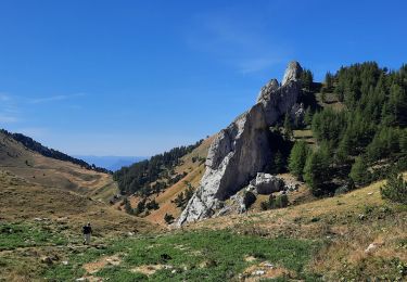
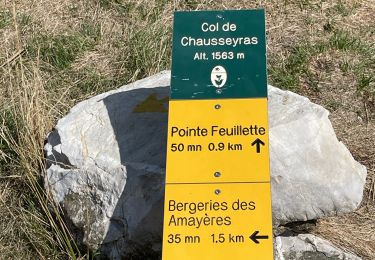
Randonnée très physique surtout sur la crête finale.
Réservée aux randonneurs en forme.
Attention, quelques problèmes pour l'itinéraire.
Traces jaune ssouvent effacées et des hautes herbes qui masquent le sentier.
Bien suivre mon tracé sur le smartphone ou laz montre.
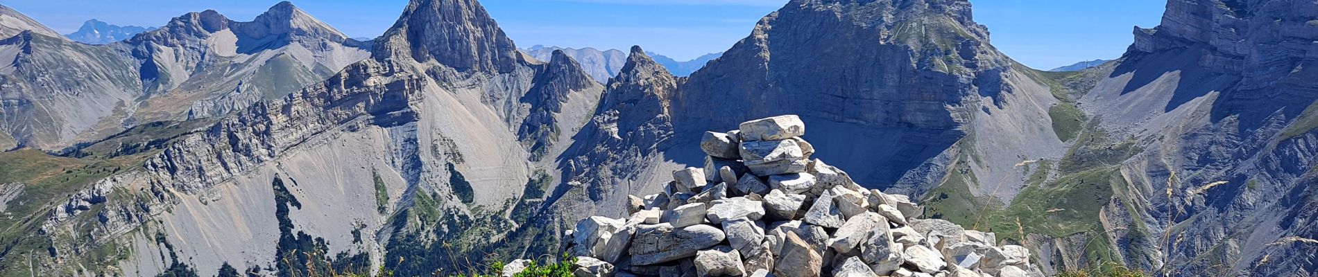
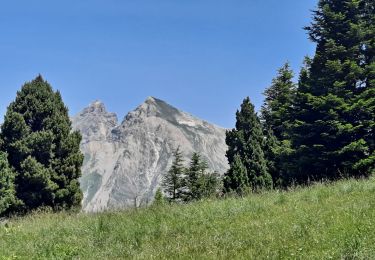
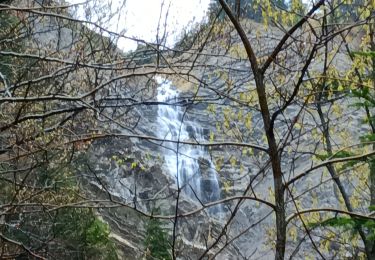
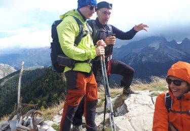
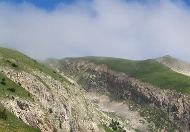
Le point de vue au sommet est somptueux.


Walking
Walking
Walking
Walking
Walking
Walking
Walking
Walking

Walking