


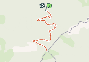

5.6 km | 15 km-effort


User


FREE GPS app for hiking
 SityTrail
IGN / Geographical institutes
SityTrail World
The world is yours!
Trail Walking of 12.3 km to be discovered at Provence-Alpes-Côte d'Azur, Hautes-Alpes, Saint-Julien-en-Beauchêne. This trail is proposed by Marco05.
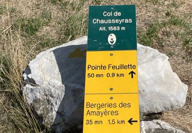
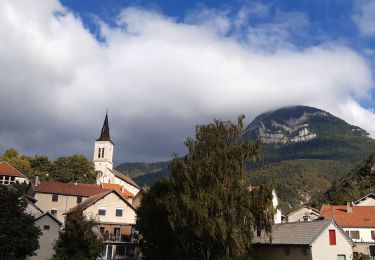
Départ de Saint-Julien en Beauchêne.
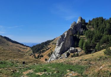
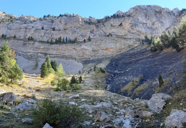
Dans le viallge prendre la direction de la chartreuse de Durban.
Petite route qui alterne goudron et piste forestière en bon état.
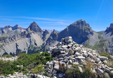
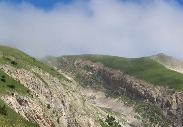
Attention, c'est une rndonnée pas très fréqueentée, ce qui fait que le chemin se perd dans les hautes herbes.
Télécharger ma trace, qui est la bonne, et la suivre scrupuleusement.


Walking
Walking
Walking
Walking
Walking
Walking
Walking
Walking

Walking