


Tête Chevalière en circuit

Emelle
User

Length
18.3 km

Max alt
1947 m

Uphill gradient
1088 m
Km-Effort
33 km

Min alt
984 m

Downhill gradient
1087 m
Boucle
Yes
Creation date :
2023-06-18 06:42:46.716
Updated on :
2023-06-18 15:02:19.851
6h04
Difficulty : Difficult

FREE GPS app for hiking
 SityTrail
IGN / Geographical institutes
SityTrail Plus
The world is yours!
About
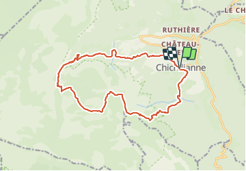
Trail Walking of 18.3 km to be discovered at Auvergne-Rhône-Alpes, Isère, Chichilianne. This trail is proposed by Emelle.
Positioning
Country:
France
Region :
Auvergne-Rhône-Alpes
Department/Province :
Isère
Municipality :
Chichilianne
Location:
Unknown
Start:(Dec)
Start:(UTM)
703483 ; 4965179 (31T) N.
Comments