Trail On foot Laruns - Collecte GR108 1er troncon

Collecte GR108 1er troncon "3707606"

 marmotte65
marmotte65

User GUIDE

© OpenStreetMap contributors
Length
Length
5.7 km
Max alt
Max alt
988 m
Uphill gradient
Uphill gradient
347 m
Km-Effort
Km-Effort  
9.6 km
Min alt
Min alt
726 m
Downhill gradient
Downhill gradient
105 m
Boucle
Boucle
No
Creation date :
2023-06-21 15:11:30.399
Updated on :
2023-06-21 15:23:46.116

(0 Reviews)

On foot
On foot
2h10
Difficulty : Easy

Scan this QR Code to open this trail in the SityTrail application

FREE GPS app for hiking

Logo SityTrail SityTrail

IGN / Geographical institutes

Download SityTrail from the App Store Download SityTrail from Google Play

Logo SityTrail SityTrail World

The world is yours!

Download SityTrail from the App Store Download SityTrail from Google Play Download SityTrail on Huawei AppGallery

About

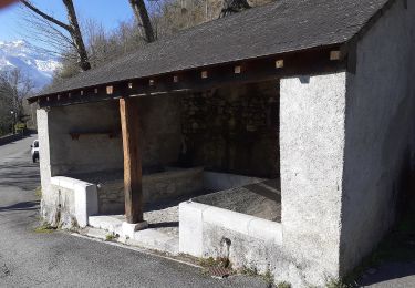
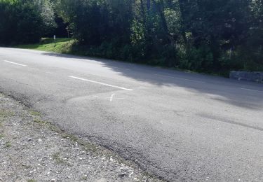
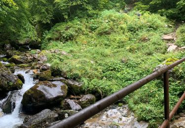
Trail On foot of 5.7 km to be discovered at New Aquitaine, Pyrénées-Atlantiques, Laruns. This trail is proposed by marmotte65.

Description

Du parking avant la centrale de Miegebat  5.7 km345 M   au parking avec aire de PN a la cote 972 sur la D934

Elevation profile

Positioning

Country:
France
Region :
New Aquitaine
Department/Province :
Pyrénées-Atlantiques
Municipality :
Laruns
Location:
Unknown
Start:(UTM)
708586 ; 4756956 (30T) N.

Trails nearby

Trail Walking Laruns - LARUNS le tour du valentin G3
Walking
GUIDE
marmotte65

Walking

Difficult
Laruns, New Aquitaine, Pyrénées-Atlantiques, France
8.2 km | 12.9 km-effort
2h 56min
Yes
Trail On foot Eaux-Bonnes - La promenade horizontale - Photo
On foot
PRO

On foot

Easy
Eaux-Bonnes, New Aquitaine, Pyrénées-Atlantiques, France
3.5 km | 5.3 km-effort
1h 12min
Yes
Trail On foot Eaux-Bonnes - Les thermes - Photo
On foot
PRO

On foot

Easy
Eaux-Bonnes, New Aquitaine, Pyrénées-Atlantiques, France
3.6 km | 5.9 km-effort
1h 20min
Yes
Trail On foot Eaux-Bonnes - La montagne verte - Photo
On foot
PRO

On foot

Easy
Eaux-Bonnes, New Aquitaine, Pyrénées-Atlantiques, France
10.4 km | 17.8 km-effort
4h 2min
Yes
Trail Walking Laruns - chemin des fenetres - Photo
Walking
mongo

Walking

Easy
(1)
Laruns, New Aquitaine, Pyrénées-Atlantiques, France
8 km | 14.1 km-effort
3h 0min
No
Trail Walking Laruns - COLLECTE GR108
Walking
GUIDE
marmotte65

Walking

Medium
Laruns, New Aquitaine, Pyrénées-Atlantiques, France
6.6 km | 11 km-effort
2h 29min
No
Trail On foot Laruns - Vallon du Soussouéou - Photo
On foot
PRO

On foot

Medium
Laruns, New Aquitaine, Pyrénées-Atlantiques, France
13.7 km | 26 km-effort
5h 51min
Yes
Trail Walking Laruns - GR 10 - 16ème étape : les Cabanes de Cézy - col de l’Hourquette D’Arre - Gourette - Photo
Walking
LEGUE

Walking

Very difficult
Laruns, New Aquitaine, Pyrénées-Atlantiques, France
15 km | 28 km-effort
3h 59min
No
Trail Walking Laruns - GR 10 - U - Photo
Walking
LouisROGER

Walking

Very difficult
(1)
Laruns, New Aquitaine, Pyrénées-Atlantiques, France
12.9 km | 26 km-effort
5h 1min
No


Close
My subscriptions