


49 TraceGps issued

houbart
User


Length
14.2 km

Max alt
629 m

Uphill gradient
226 m
Km-Effort
17.2 km

Min alt
553 m

Downhill gradient
222 m
Boucle
Yes
Creation date :
2023-06-22 08:47:05.212
Updated on :
2023-06-28 14:06:52.708
3h53
Difficulty : Difficult

FREE GPS app for hiking
 SityTrail
IGN / Geographical institutes
SityTrail Plus
The world is yours!
About
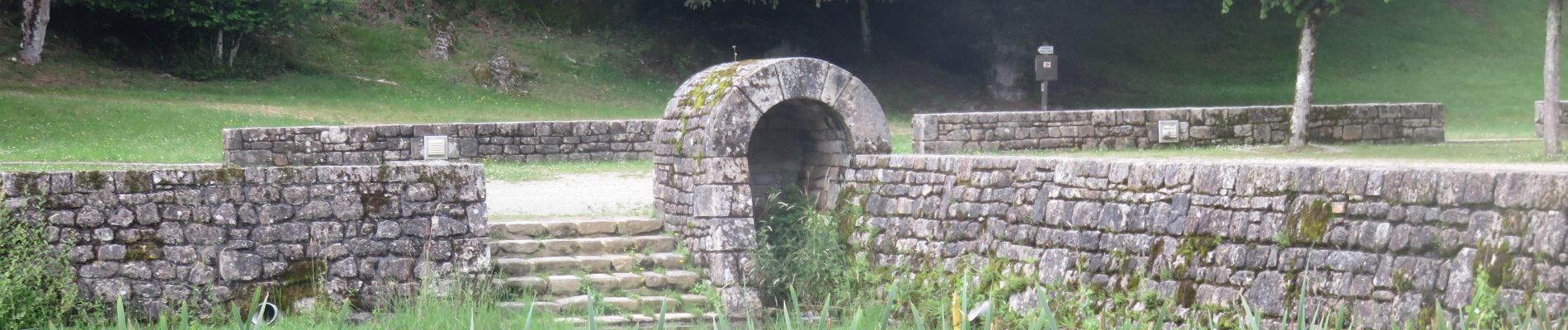
Trail Walking of 14.2 km to be discovered at New Aquitaine, Corrèze, Clergoux. This trail is proposed by houbart.
Photos


Positioning
Country:
France
Region :
New Aquitaine
Department/Province :
Corrèze
Municipality :
Clergoux
Location:
Unknown
Start:(Dec)
Start:(UTM)
417779 ; 5016049 (31T) N.
Comments