


Sondernach est 2023

goizet
User
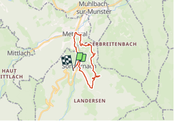

Length
10.7 km

Max alt
774 m

Uphill gradient
423 m
Km-Effort
16.3 km

Min alt
477 m

Downhill gradient
410 m
Boucle
Yes
Creation date :
2023-06-23 07:14:54.399
Updated on :
2023-06-23 11:55:04.857
4h39
Difficulty : Easy

FREE GPS app for hiking
 SityTrail
IGN / Geographical institutes
SityTrail Plus
The world is yours!
About
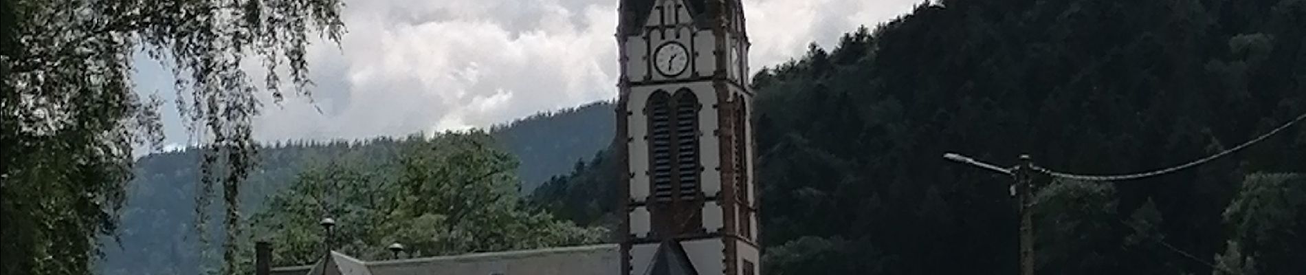
Trail Walking of 10.7 km to be discovered at Grand Est, Haut-Rhin, Sondernach. This trail is proposed by goizet.
Photos


Positioning
Country:
France
Region :
Grand Est
Department/Province :
Haut-Rhin
Municipality :
Sondernach
Location:
Unknown
Start:(Dec)
Start:(UTM)
356090 ; 5317740 (32T) N.
Comments