


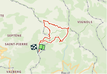
Mont Demant Par Col de l'Espaul et col des Moulinés, Valberg

GrouGary
User


4h54
Difficulty : Medium

FREE GPS app for hiking
 SityTrail
IGN / Geographical institutes
SityTrail Plus
The world is yours!
About
Trail Walking of 15.2 km to be discovered at Provence-Alpes-Côte d'Azur, Maritime Alps, Beuil. This trail is proposed by GrouGary.
Description
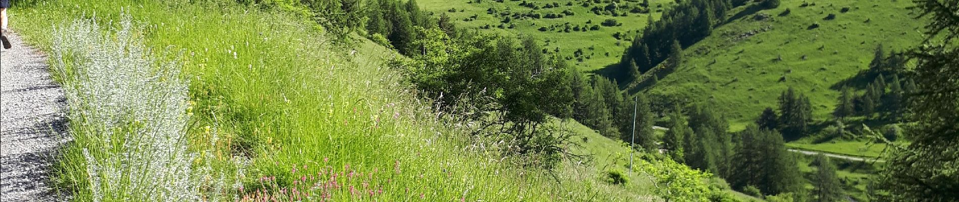
Aucune difficulté technique. Après le passage du cloutet, l'ensemble est minéral, semblable à l'univers du Mont Mounier.
Fin juin, les alpages sont riches en fleurs diverses (renouées, ancolies, marguerites, doronics, oeillets, sauges, Dames de onze heures...et orchidées)
Photos


Positioning
Comments