


Boucle de Anse à l'âne et Galochat à Trois-Îlets.

GabyG
User GUIDE
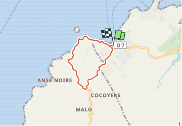

Length
6.8 km

Max alt
180 m

Uphill gradient
243 m
Km-Effort
10 km

Min alt
0 m

Downhill gradient
249 m
Boucle
Yes
Creation date :
2023-06-25 11:43:34.498
Updated on :
2023-06-27 00:43:33.592
3h27
Difficulty : Medium

FREE GPS app for hiking
 SityTrail
IGN / Geographical institutes
SityTrail Plus
The world is yours!
About
Trail Walking of 6.8 km to be discovered at Martinique, Unknown, Les Trois-Îlets. This trail is proposed by GabyG.
Description
parcours en boucle de l'anse à l'âne vers Galocha sur route départementale, puis sous bois et bordure côtière pour atteindre l'anse à l'âne par les hauteurs.
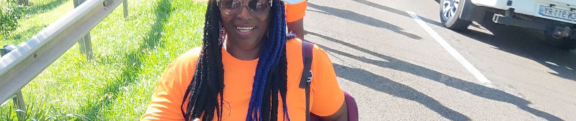
Photos


Positioning
Country:
France
Region :
Martinique
Department/Province :
Unknown
Municipality :
Les Trois-Îlets
Location:
Unknown
Start:(Dec)
Start:(UTM)
708299 ; 1608172 (20P) N.
Comments