


valmeynier grands lacs

Danielba
User GUIDE
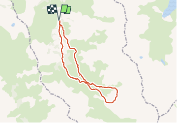

Length
15.4 km

Max alt
2513 m

Uphill gradient
802 m
Km-Effort
26 km

Min alt
1744 m

Downhill gradient
801 m
Boucle
Yes
Creation date :
2023-07-02 07:10:18.072
Updated on :
2023-07-02 15:43:16.535
7h17
Difficulty : Easy

FREE GPS app for hiking
 SityTrail
IGN / Geographical institutes
SityTrail Plus
The world is yours!
About
Trail Walking of 15.4 km to be discovered at Auvergne-Rhône-Alpes, Savoy, Valmeinier. This trail is proposed by Danielba .
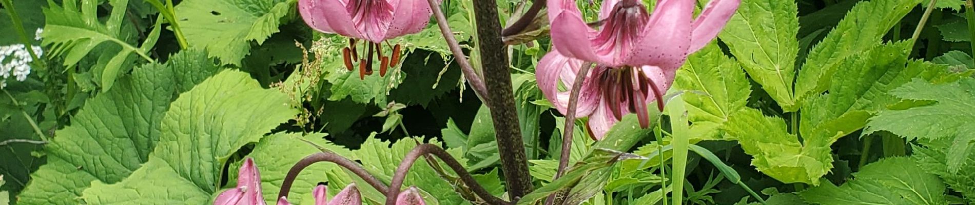
Photos


Positioning
Country:
France
Region :
Auvergne-Rhône-Alpes
Department/Province :
Savoy
Municipality :
Valmeinier
Location:
Unknown
Start:(Dec)
Start:(UTM)
303054 ; 5004005 (32T) N.
Comments