


Circuit de l'Escoubaye 25 -12- 2014

Dervalmarc
User
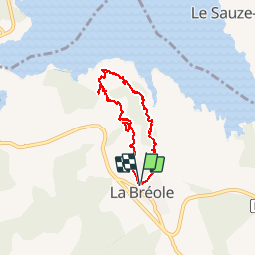

Length
6.9 km

Max alt
1005 m

Uphill gradient
238 m
Km-Effort
10.1 km

Min alt
845 m

Downhill gradient
240 m
Boucle
Yes
Creation date :
2014-12-25 00:00:00.0
Updated on :
2014-12-25 00:00:00.0
2h32
Difficulty : Easy

FREE GPS app for hiking
 SityTrail
IGN / Geographical institutes
SityTrail Plus
The world is yours!
About
Trail Walking of 6.9 km to be discovered at Provence-Alpes-Côte d'Azur, Alpes-de-Haute-Provence, Ubaye-Serre-Ponçon. This trail is proposed by Dervalmarc.
Description
Très beau sentier en balcon sur le lac de Serre Poncon au départ de la Breole.
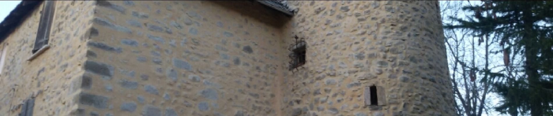
Photos


Positioning
Country:
France
Region :
Provence-Alpes-Côte d'Azur
Department/Province :
Alpes-de-Haute-Provence
Municipality :
Ubaye-Serre-Ponçon
Location:
Unknown
Start:(Dec)
Start:(UTM)
284755 ; 4926201 (32T) N.
Comments
Très bonne application