


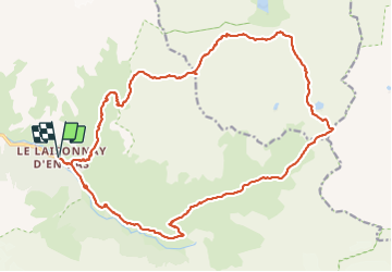
col du plan Séry et du palet

amiral13
User GUIDE


9h51
Difficulty : Very difficult

FREE GPS app for hiking
 SityTrail
IGN / Geographical institutes
SityTrail Plus
The world is yours!
About
Trail Walking of 24 km to be discovered at Auvergne-Rhône-Alpes, Savoy, Champagny-en-Vanoise. This trail is proposed by amiral13.
Description
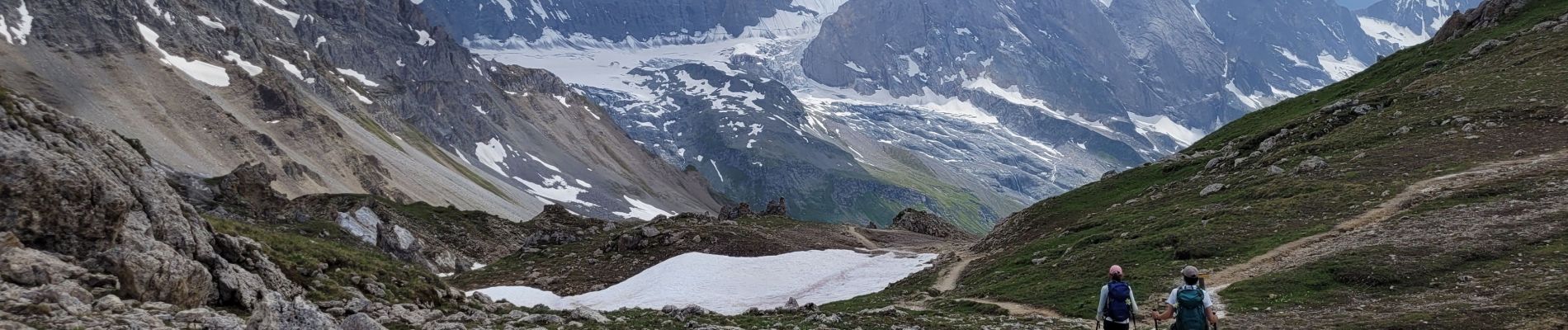
randonnée effectuée le 7 juillet 2023
de très beaux panoramas variés du fait de changement de vallée.
attention c'est une randonnée longue avec beaucoup de dénivelée ce qui explique son classement très difficile.
Photos


29 photos in total. Please click on a photo to see them all in the gallery.
Positioning
Comments