


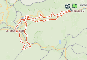
Le chemin de l'enfer

Alain28/01
User

Length
24 km

Max alt
1189 m

Uphill gradient
1015 m
Km-Effort
37 km

Min alt
502 m

Downhill gradient
1013 m
Boucle
Yes
Creation date :
2023-07-08 09:44:09.274
Updated on :
2023-07-08 09:45:28.497
8h27
Difficulty : Difficult

FREE GPS app for hiking
 SityTrail
IGN / Geographical institutes
SityTrail Plus
The world is yours!
About
Trail On foot of 24 km to be discovered at Grand Est, Haut-Rhin, Linthal. This trail is proposed by Alain28/01.
Positioning
Country:
France
Region :
Grand Est
Department/Province :
Haut-Rhin
Municipality :
Linthal
Location:
Unknown
Start:(Dec)
Start:(UTM)
358993 ; 5311546 (32T) N.
Comments