


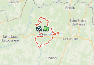
Millet la vallée du Coly

audier
User


5h07
Difficulty : Difficult

FREE GPS app for hiking
 SityTrail
IGN / Geographical institutes
SityTrail Plus
The world is yours!
About
Trail Walking of 28 km to be discovered at New Aquitaine, Dordogne, Mialet. This trail is proposed by audier.
Description
Au départ de Miallet, vous rencontrerez au fil des chemins forestiers, agricoles et de petites routes de nombreux étangs. Le lac de Miallet est une réserve naturelle et protégée. Aucune difficulté particulière si ce n'est la longueur. Bonne rando.
Photos

Positioning
Comments