Trail Walking Neuville-sur-Brenne - Neuville-sur-Brenne - Photo
 guydu41
guydu41

User

© OpenStreetMap contributors
Length
Length
14.6 km
Max alt
Max alt
143 m
Uphill gradient
Uphill gradient
178 m
Km-Effort
Km-Effort  
17 km
Min alt
Min alt
89 m
Downhill gradient
Downhill gradient
179 m
Boucle
Boucle
Yes
Creation date :
2023-07-11 05:41:01.768
Updated on :
2023-07-17 14:26:26.833

(0 Reviews)

Walking
Walking
3h52
Difficulty : Difficult

Scan this QR Code to open this trail in the SityTrail application

FREE GPS app for hiking

Logo SityTrail SityTrail

IGN / Geographical institutes

Download SityTrail from the App Store Download SityTrail from Google Play

Logo SityTrail SityTrail World

The world is yours!

Download SityTrail from the App Store Download SityTrail from Google Play Download SityTrail on Huawei AppGallery

About

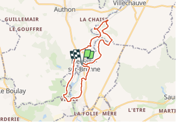
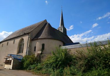
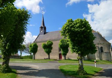
Trail Walking of 14.6 km to be discovered at Centre-Loire Valley, Indre-et-Loire, Neuville-sur-Brenne. This trail is proposed by guydu41.

Description

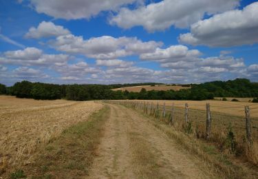
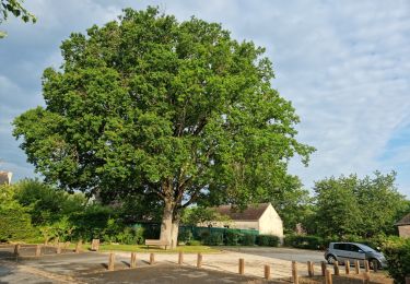
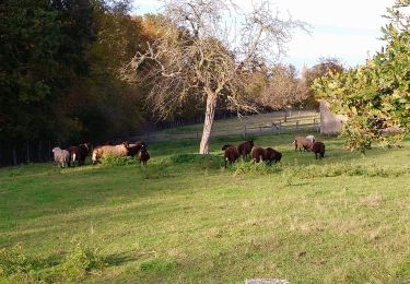
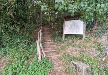
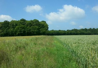
Beau circuit à travers bois et champs, dans plusieurs petites vallées et en partie sur l'ancienne voie ferrée bordée d'arbres "Vouvray - Sargé-sur-Braye" qui passait à Neuville-sur-Brenne et transformée en très belle voie verte.
Possibilité d'explorer des cavités troglodytes abandonnées depuis fort longtemps dont deux d'accès difficile (débroussaillage pour y accéder).

Elevation profile

Photos

50 photos in total. Please click on a photo to see them all in the gallery.

Positioning

Country:
France
Region :
Centre-Loire Valley
Department/Province :
Indre-et-Loire
Municipality :
Neuville-sur-Brenne
Location:
Unknown
Start:(UTM)
342755 ; 5276094 (31T) N.

Trails nearby

Trail Walking Neuville-sur-Brenne - Neuville-sur-Brenne - 9.8km 125m 2h15 - 2023 07 19 - Photo
Walking
Orcal37

Walking

Very easy
Neuville-sur-Brenne, Centre-Loire Valley, Indre-et-Loire, France
9.2 km | 10.8 km-effort
2h 15min
Yes
Trail Walking Authon - Authon - Monthodon - 13.6km 130m 3h00 (30mn) - 2023 07 19 - Photo
Walking
Orcal37

Walking

Very easy
Authon, Centre-Loire Valley, Loir-et-Cher, France
13.6 km | 15.4 km-effort
3h 0min
Yes
Trail Walking Villechauve - Villechauve - Photo
Walking
guydu41

Walking

Easy
Villechauve, Centre-Loire Valley, Loir-et-Cher, France
7.7 km | 9.1 km-effort
1h 39min
Yes
Trail Walking Saunay - Saunay - Sur les pas de Saint-Martin - 18.7km 170m 4h05 - 2022 09 04 - Photo
Walking
Orcal37

Walking

Easy
Saunay, Centre-Loire Valley, Indre-et-Loire, France
18.7 km | 21 km-effort
4h 5min
Yes
Trail Walking Le Boulay - le Boulay - circuits Le pain sec et le Boulay avec variante le Sentier - 21.4km 180m 5h15 - 2022 05 05 - Photo
Walking
Orcal37

Walking

Easy
Le Boulay, Centre-Loire Valley, Indre-et-Loire, France
21 km | 24 km-effort
5h 15min
Yes
Trail Walking Villechauve - Villechauve - GR655ouest Prunay-Cassereau Villethiou - 22km 165m 4h50 (35mn) - 2021 11 06 - Photo
Walking
Orcal37

Walking

Easy
Villechauve, Centre-Loire Valley, Loir-et-Cher, France
22 km | 24 km-effort
4h 50min
Yes
Trail Walking Château-Renault - Château-Renault - GR655ouest Villechauve - 21.9km 235m 4h55 (30mn) - 2021 10 23 - Photo
Walking
Orcal37

Walking

Easy
Château-Renault, Centre-Loire Valley, Indre-et-Loire, France
22 km | 25 km-effort
4h 55min
Yes
Trail Walking Authon - Authon - Chateau-Renault - Photo
Walking
guydu41

Walking

Easy
Authon, Centre-Loire Valley, Loir-et-Cher, France
25 km | 30 km-effort
6h 40min
Yes
Trail Walking Le Boulay - le boulay sentier du pain  sec - Photo
Walking
dporcher

Walking

Very easy
Le Boulay, Centre-Loire Valley, Indre-et-Loire, France
9.3 km | 10.2 km-effort
2h 8min
No


Close
My subscriptions