


9.2 km | 10.8 km-effort


User


FREE GPS app for hiking
 SityTrail
IGN / Geographical institutes
SityTrail World
The world is yours!
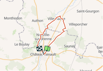
Trail Walking of 22 km to be discovered at Centre-Loire Valley, Indre-et-Loire, Château-Renault. This trail is proposed by Orcal37.
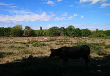
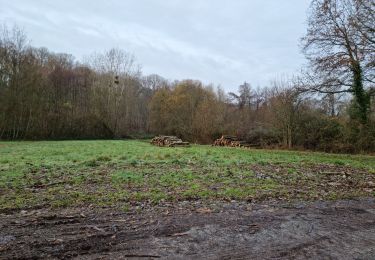
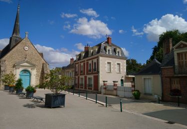
Château-Renault - GR655ouest Villechauve - 21.9km 235m 4h55 (30mn) - 2021 10 23
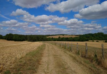
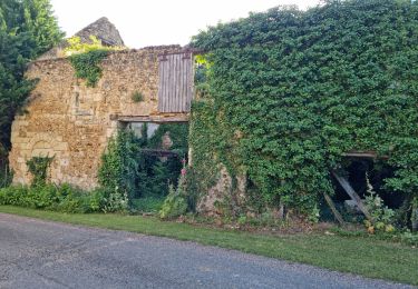
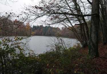
 - 2021 10 23 - Photo 1")
 - 2021 10 23 - Photo 2")
 - 2021 10 23 - Photo 3")
 - 2021 10 23 - Photo 4")
 - 2021 10 23 - Photo 5")
 - 2021 10 23 - Photo 6")
 - 2021 10 23 - Photo 7")
Walking
Walking

Walking
Walking
Walking

Walking

Walking
Walking
Walking