Trail Walking Azay-sur-Cher - Azay-sur-Cher - le Grais - 13.1km 100m 2h55 - 2023 07 12 - Photo

Azay-sur-Cher - le Grais - 13.1km 100m 2h55 - 2023 07 12

 Orcal37
Orcal37

User

© OpenStreetMap contributors
Length
Length
13.1 km
Max alt
Max alt
97 m
Uphill gradient
Uphill gradient
103 m
Km-Effort
Km-Effort  
14.5 km
Min alt
Min alt
50 m
Downhill gradient
Downhill gradient
102 m
Boucle
Boucle
Yes
Creation date :
2023-07-12 12:56:40.995
Updated on :
2023-07-15 10:54:08.551

(0 Reviews)

Walking
Walking
2h55
Difficulty : Easy

Scan this QR Code to open this trail in the SityTrail application

FREE GPS app for hiking

Logo SityTrail SityTrail

IGN / Geographical institutes

Download SityTrail from the App Store Download SityTrail from Google Play

Logo SityTrail SityTrail World

The world is yours!

Download SityTrail from the App Store Download SityTrail from Google Play Download SityTrail on Huawei AppGallery

About

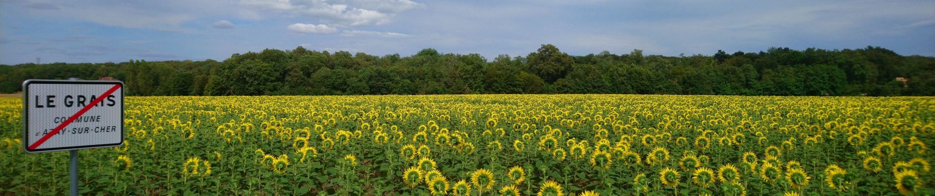
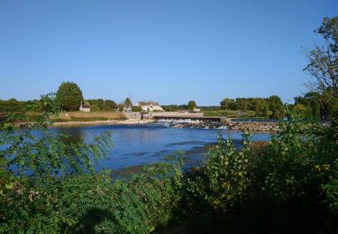
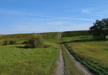
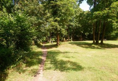
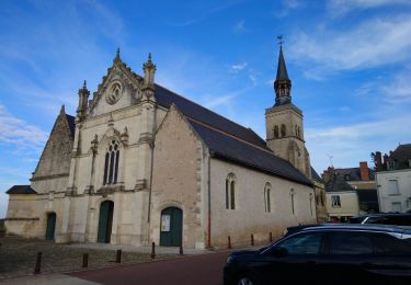
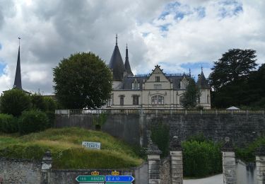
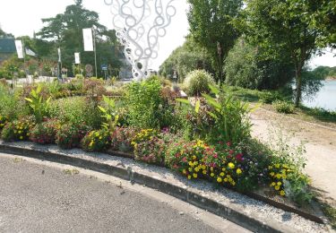
Trail Walking of 13.1 km to be discovered at Centre-Loire Valley, Indre-et-Loire, Azay-sur-Cher. This trail is proposed by Orcal37.

Description

Azay-sur-Cher - le Grais - 13.1km 100m 2h55 - 2023 07 12

Elevation profile

Photos

Positioning

Country:
France
Region :
Centre-Loire Valley
Department/Province :
Indre-et-Loire
Municipality :
Azay-sur-Cher
Location:
Unknown
Start:(UTM)
336986 ; 5246401 (31T) N.

Trails nearby

Trail Walking Véretz - Véretz - PR Sentier de Bacchus - 14.9km 90m 3h00 - 2023 11 25 - Photo
Walking
Orcal37

Walking

Easy
Véretz, Centre-Loire Valley, Indre-et-Loire, France
14.9 km | 16.1 km-effort
3h 0min
Yes
Trail Walking Montlouis-sur-Loire - Montlouis-sur-Loire - gare GR41 Veretz Azay-sur-Cher - 13km 85m 2h45 - 2023 10 07 - Photo
Walking
Orcal37

Walking

Easy
Montlouis-sur-Loire, Centre-Loire Valley, Indre-et-Loire, France
13 km | 14.2 km-effort
2h 45min
Yes
Trail Walking Saint-Martin-le-Beau - Saint-Martin-le-Beau - Nitray GR41 Azay-sur-Cher - 23.2km 185m 5h15 (40mn) - 2023 10 04 - Photo
Walking
Orcal37

Walking

Easy
Saint-Martin-le-Beau, Centre-Loire Valley, Indre-et-Loire, France
23 km | 26 km-effort
5h 15min
Yes
Trail Walking Montlouis-sur-Loire - Montlouis-sur-Loire - PR Sur les pas de Gabrielle d'Estrées - 9.5km 100m 2h20 - 2023 07 08 - Photo
Walking
Orcal37

Walking

Easy
Montlouis-sur-Loire, Centre-Loire Valley, Indre-et-Loire, France
9.5 km | 10.9 km-effort
2h 20min
Yes
Trail Bicycle tourism Montlouis-sur-Loire - De Montlouis sur Loire à Villandry  - Photo
Bicycle tourism
nadd73

Bicycle tourism

Medium
Montlouis-sur-Loire, Centre-Loire Valley, Indre-et-Loire, France
78 km | 85 km-effort
5h 18min
No
Trail Walking Montlouis-sur-Loire - Montlouis-sur-Loire - Entre Loire et vignes GR3 GR655est - 17.4km 190m 3h55 - 2022 10 16 - Photo
Walking
Orcal37

Walking

Easy
Montlouis-sur-Loire, Centre-Loire Valley, Indre-et-Loire, France
17.4 km | 19.9 km-effort
3h 55min
Yes
Trail On foot Montlouis-sur-Loire - Montlouis 17km  - Photo
On foot
fustier

On foot

Very easy
(1)
Montlouis-sur-Loire, Centre-Loire Valley, Indre-et-Loire, France
17.3 km | 19.8 km-effort
Unknown
Yes
Trail Walking Véretz - Véretz - Nitray - AR - 2015 11 08 - Photo
Walking
Orcal37

Walking

Easy
Véretz, Centre-Loire Valley, Indre-et-Loire, France
16.4 km | 18 km-effort
3h 25min
Yes
Trail Walking Montlouis-sur-Loire - Montlouis-sur-Loire - 5km 80m 1h20 - 2018 08 18 - Photo
Walking
Orcal37

Walking

Very easy
(1)
Montlouis-sur-Loire, Centre-Loire Valley, Indre-et-Loire, France
5 km | 5.7 km-effort
1h 20min
Yes


Close
My subscriptions