


15.1 km | 17.2 km-effort

User


FREE GPS app for hiking
 SityTrail
IGN / Geographical institutes
SityTrail World
The world is yours!
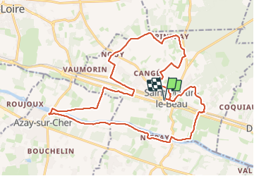
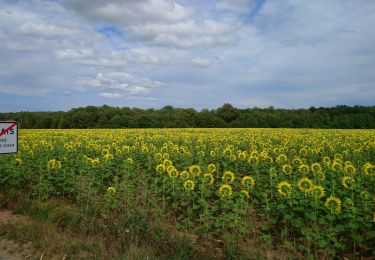
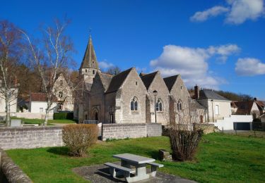
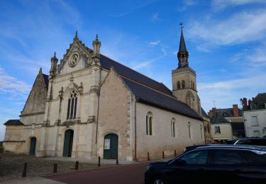
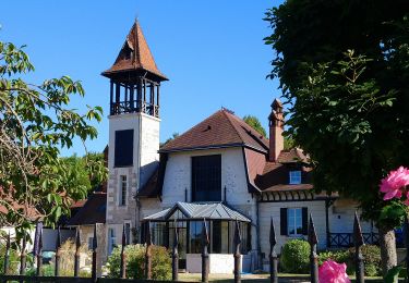
Trail Walking of 23 km to be discovered at Centre-Loire Valley, Indre-et-Loire, Saint-Martin-le-Beau. This trail is proposed by Orcal37.
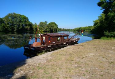
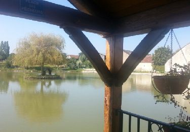
Saint-Martin-le-Beau - Nitray - GR41 - Azay-sur-Cher - lavoirs vignes plaines forêts le Cher - 23.2km 185m 5h15 (40mn) - 2023 10 04
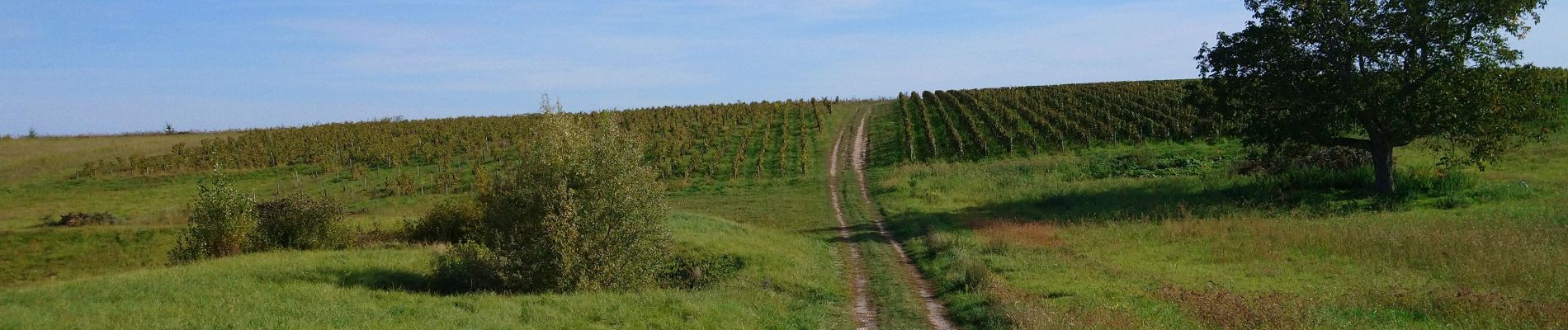
 - 2023 10 04 - Photo 1")
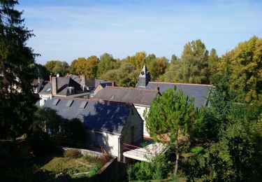
 - 2023 10 04 - Photo 2")
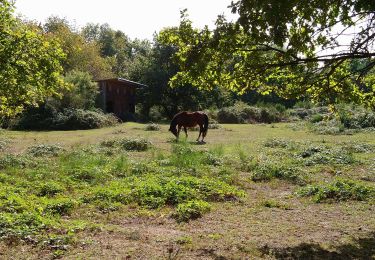
 - 2023 10 04 - Photo 3")
 - 2023 10 04 - Photo 4")
 - 2023 10 04 - Photo 5")
 - 2023 10 04 - Photo 6")
 - 2023 10 04 - Photo 7")
 - 2023 10 04 - Photo 8")
 - 2023 10 04 - Photo 9")
 - 2023 10 04 - Photo 10")
 - 2023 10 04 - Photo 11")
 - 2023 10 04 - Photo 12")
 - 2023 10 04 - Photo 13")
 - 2023 10 04 - Photo 14")
Walking
Walking
Walking
Walking
Walking
Walking
Walking

Walking
Walking