


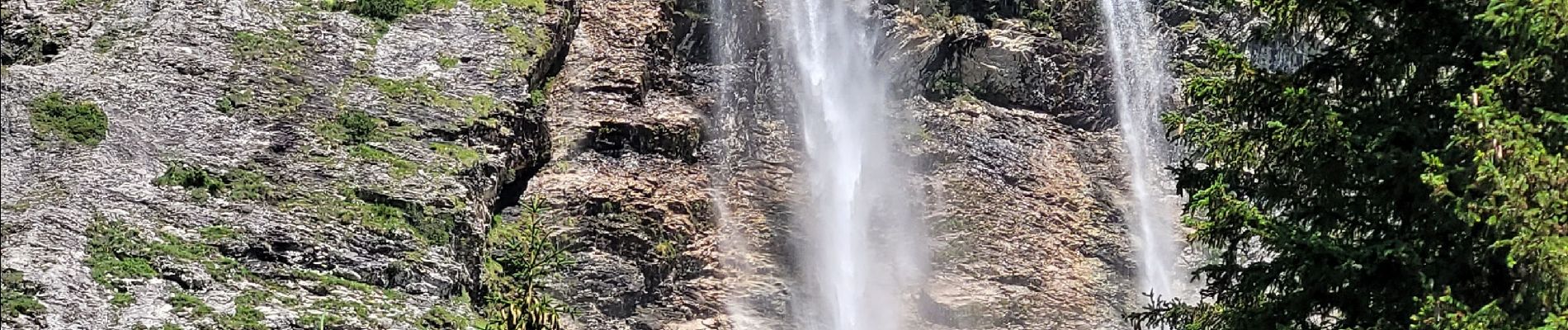
la cascade de la Vuzelle

amiral13
User GUIDE
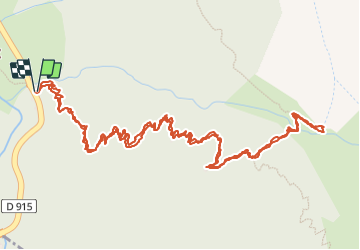

Length
4.3 km

Max alt
1677 m

Uphill gradient
457 m
Km-Effort
10.4 km

Min alt
1207 m

Downhill gradient
462 m
Boucle
Yes
Creation date :
2023-07-13 12:27:27.057
Updated on :
2023-07-13 20:51:13.837
2h21
Difficulty : Medium

FREE GPS app for hiking
 SityTrail
IGN / Geographical institutes
SityTrail Plus
The world is yours!
About
Trail Walking of 4.3 km to be discovered at Auvergne-Rhône-Alpes, Savoy, Planay. This trail is proposed by amiral13.
Description
jeudi 13 juillet petite randonnée jusqu'à la magnifique cascade de la Vuzelle.
Photos


Positioning
Country:
France
Region :
Auvergne-Rhône-Alpes
Department/Province :
Savoy
Municipality :
Planay
Location:
Unknown
Start:(Dec)
Start:(UTM)
320777 ; 5031315 (32T) N.
Comments