


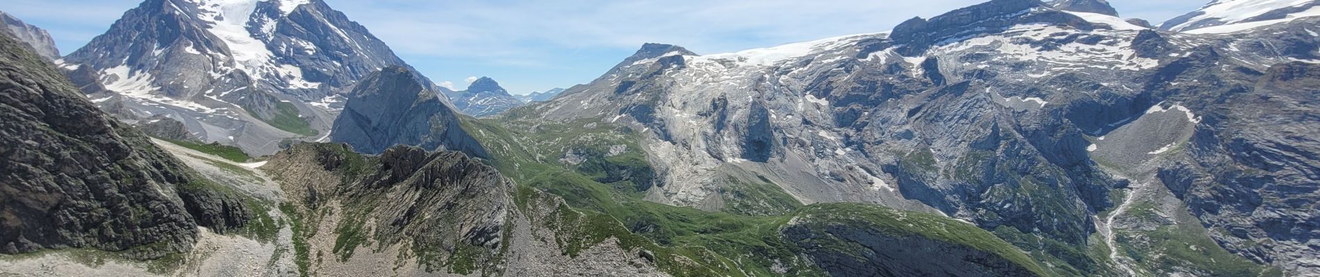
pointe de Leschaux

amiral13
User GUIDE
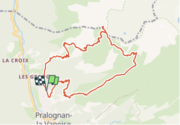


5h43
Difficulty : Difficult

FREE GPS app for hiking
 SityTrail
IGN / Geographical institutes
SityTrail Plus
The world is yours!
About
Trail Walking of 12 km to be discovered at Auvergne-Rhône-Alpes, Savoy, Pralognan-la-Vanoise. This trail is proposed by amiral13.
Description
rando effectuée le 14 juillet 2023 une des plus belles de Pralognan attention un passage avec câble entre le col et le bochor qui peut impressionner.
Photos


21 photos in total. Please click on a photo to see them all in the gallery.
Positioning
Comments