


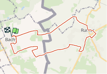

21 km | 23 km-effort


User


FREE GPS app for hiking
 SityTrail
IGN / Geographical institutes
SityTrail World
The world is yours!
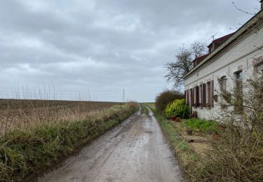
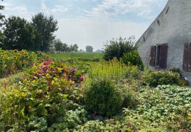
Trail Walking of 11 km to be discovered at Hauts-de-France, Nord, Bachy. This trail is proposed by papiou.
rdv place de la liberté à Bachy( église), face à celle ci départ vers la gauche en direction la sculpture de Monique puis suivre fléchage très lisible


Mountain bike

Mountain bike

Walking

Walking
Walking
Walking
Walking
Walking
Walking