Trail Walking Marray - Marray - Les versants de la Dême - Photo

Marray - Les versants de la Dême

 guydu41
guydu41

User

© OpenStreetMap contributors
Length
Length
12.8 km
Max alt
Max alt
187 m
Uphill gradient
Uphill gradient
187 m
Km-Effort
Km-Effort  
15.2 km
Min alt
Min alt
93 m
Downhill gradient
Downhill gradient
188 m
Boucle
Boucle
Yes
Creation date :
2023-07-18 06:00:02.222
Updated on :
2023-08-06 05:24:13.253

(0 Reviews)

Walking
Walking
3h27
Difficulty : Difficult

Scan this QR Code to open this trail in the SityTrail application

FREE GPS app for hiking

Logo SityTrail SityTrail

IGN / Geographical institutes

Download SityTrail from the App Store Download SityTrail from Google Play

Logo SityTrail SityTrail World

The world is yours!

Download SityTrail from the App Store Download SityTrail from Google Play Download SityTrail on Huawei AppGallery

About

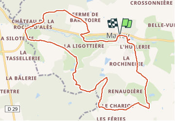
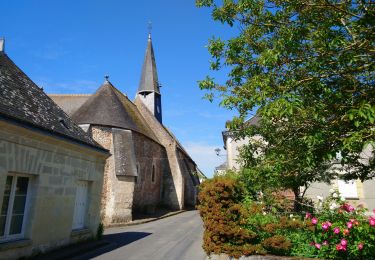
Trail Walking of 12.8 km to be discovered at Centre-Loire Valley, Indre-et-Loire, Marray. This trail is proposed by guydu41.

Description

Parcours à travers champs et bois principalement sur des chemins et sentiers avec une très belle vue sur le magnifique Château de la Roche d'Alès.
Ce circuit pédestre respecte le plan (format pdf) proposé par la commune de Marray avec un balisage rouge et/ou un balisage normalisé jaune.
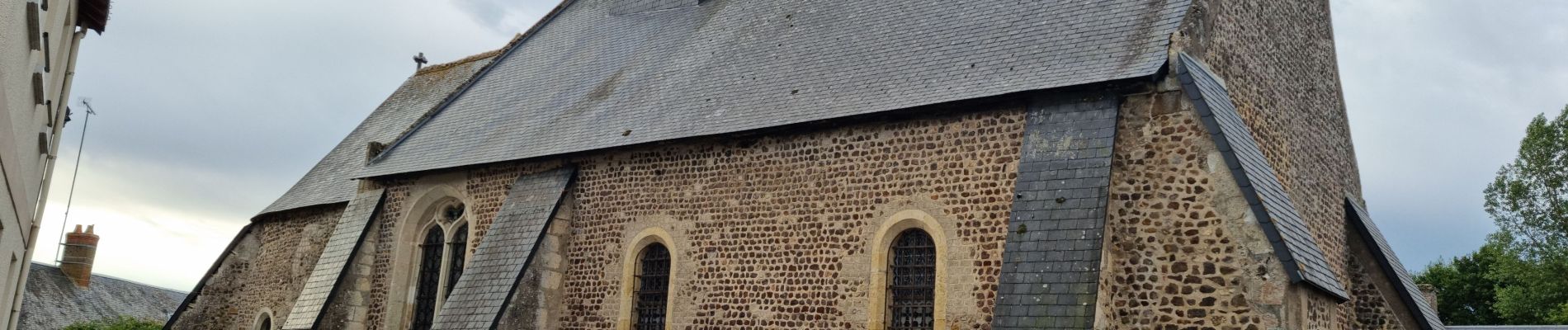
Dans le village de Marray, petit détour vers une aire de jeux pour aller admirer un lavoir que nos aïeules utilisaient principalement dans le rinçage du linge.
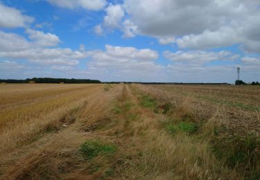
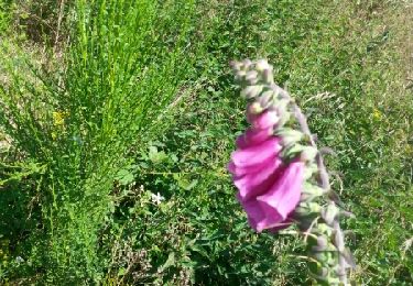
Certains passages sont un peu embroussaillés mais rien de rédhibitoire.
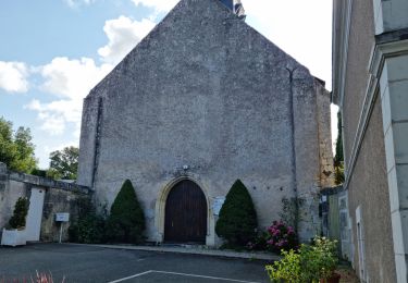
Le sentier boisé qui longe de bras de la Dême avant de déboucher à côté de la station d'épuration est très agréable.

Elevation profile

Photos

32 photos in total. Please click on a photo to see them all in the gallery.

Positioning

Country:
France
Region :
Centre-Loire Valley
Department/Province :
Indre-et-Loire
Municipality :
Marray
Location:
Unknown
Start:(UTM)
327175 ; 5276785 (31T) N.

Trails nearby

Trail Walking La Ferrière - la Ferrière - le Moulin à Vent à Saint-Laurent-en-Gâtines - 14.9km 115m 3h20 (30mn) - 2023 07 30 - Photo
Walking
Orcal37

Walking

Easy
La Ferrière, Centre-Loire Valley, Indre-et-Loire, France
14.9 km | 16.5 km-effort
3h 20min
Yes
Trail Walking La Ferrière - La Ferrière - Photo
Walking
guydu41

Walking

Easy
La Ferrière, Centre-Loire Valley, Indre-et-Loire, France
10.6 km | 11.9 km-effort
2h 42min
Yes
Trail Walking Marray - Marray - 2 boucles - 19.2km 245m 5h05 (30mn) - 2021 06 09 - Photo
Walking
Orcal37

Walking

Medium
Marray, Centre-Loire Valley, Indre-et-Loire, France
19.2 km | 22 km-effort
5h 5min
Yes
Trail Walking Les Hermites - sentier de l'ermite - Photo
Walking
dporcher

Walking

Very easy
Les Hermites, Centre-Loire Valley, Indre-et-Loire, France
25 km | 28 km-effort
5h 29min
Yes
Trail Walking La Ferrière - marray - la ferrière  - Photo
Walking
dporcher

Walking

Easy
La Ferrière, Centre-Loire Valley, Indre-et-Loire, France
16.7 km | 19.6 km-effort
3h 27min
Yes
Trail Walking Saint-Laurent-en-Gâtines - Saint Laurent en Gâtine 23, 5km - Photo
Walking
dporcher

Walking

Easy
Saint-Laurent-en-Gâtines, Centre-Loire Valley, Indre-et-Loire, France
23 km | 27 km-effort
4h 28min
Yes
Trail Walking La Ferrière - la  ferrière sentier des bois - Photo
Walking
dporcher

Walking

Very easy
La Ferrière, Centre-Loire Valley, Indre-et-Loire, France
11 km | 12.5 km-effort
2h 17min
Yes
Trail Walking La Ferrière - sentier des bois la ferriere - Photo
Walking
dporcher

Walking

Very easy
La Ferrière, Centre-Loire Valley, Indre-et-Loire, France
10.1 km | 11.4 km-effort
2h 7min
Yes
Trail Walking La Ferrière - Autout de La Ferrière et Marray - Photo
Walking
tracegps

Walking

Medium
La Ferrière, Centre-Loire Valley, Indre-et-Loire, France
16.7 km | 19.6 km-effort
3h 0min
Yes


Close
My subscriptions