


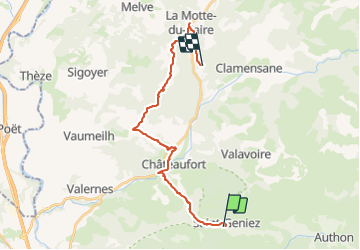

9.8 km | 17.3 km-effort


User GUIDE


FREE GPS app for hiking
 SityTrail
IGN / Geographical institutes
SityTrail World
The world is yours!
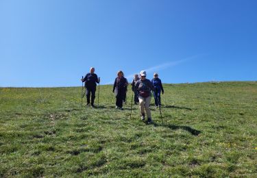
Trail Horseback riding of 23 km to be discovered at Provence-Alpes-Côte d'Azur, Alpes-de-Haute-Provence, Saint-Geniez. This trail is proposed by holtzv.
Saint Geniez - La Motte-du-Caire (5h30)
Gîtes à Saint-Geniez et la Motte-du-Caire
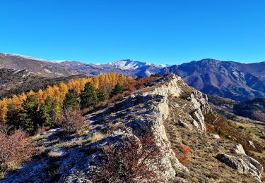
En suivant le balisage du chemin de Saint-Jacques de Compostelle GR®653D jusqu’à Nibles, vous passez par “le Collet”, la ferme des Donney face à la vallée de la Durance. La vue est agréable et la végétation insolite. La traversée de la Sasse (torrent) permet aux chevaux de s’abreuver.
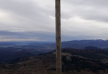
La colline “Tête des Monges” par le passage de “l’Homme Mort” vous conduit jusqu’au village de la Motte-du-Caire en suivant le GR. Vous pouvez vous désaltérer au bar du village.
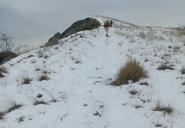
Walking
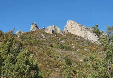
Walking

Walking
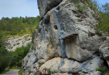
Walking
Walking
Walking
Walking
Walking

Walking