


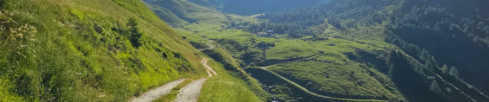
Peisey Vallandry Les Rossets Col d'Entreporte

lhomme.ph
User GUIDE
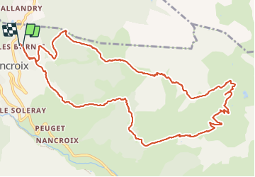

Length
14.3 km

Max alt
2397 m

Uphill gradient
839 m
Km-Effort
26 km

Min alt
1588 m

Downhill gradient
858 m
Boucle
Yes
Creation date :
2023-07-20 05:16:51.95
Updated on :
2023-07-20 11:13:09.263
4h51
Difficulty : Difficult

FREE GPS app for hiking
 SityTrail
IGN / Geographical institutes
SityTrail Plus
The world is yours!
About
Trail Walking of 14.3 km to be discovered at Auvergne-Rhône-Alpes, Savoy, Peisey-Nancroix. This trail is proposed by lhomme.ph.
Photos


22 photos in total. Please click on a photo to see them all in the gallery.
Positioning
Country:
France
Region :
Auvergne-Rhône-Alpes
Department/Province :
Savoy
Municipality :
Peisey-Nancroix
Location:
Unknown
Start:(Dec)
Start:(UTM)
325404 ; 5046482 (32T) N.
Comments