


Rando des Marcheurs 20/07/2023

boubou68
User
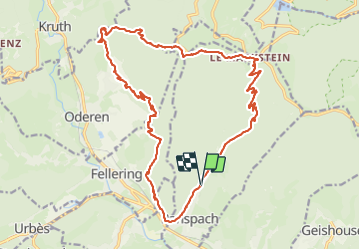

Length
23 km

Max alt
1196 m

Uphill gradient
1154 m
Km-Effort
38 km

Min alt
459 m

Downhill gradient
1151 m
Boucle
Yes
Creation date :
2023-07-20 06:49:24.532
Updated on :
2023-07-20 14:41:11.994
5h31
Difficulty : Very difficult

FREE GPS app for hiking
 SityTrail
IGN / Geographical institutes
SityTrail Plus
The world is yours!
About
Trail Walking of 23 km to be discovered at Grand Est, Haut-Rhin, Ranspach. This trail is proposed by boubou68.
Description
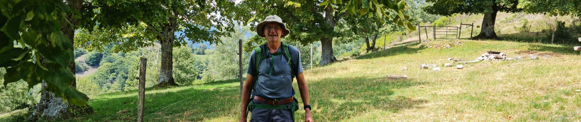
Si belle rando ....belle rencontré avec Catherine et son chien...Dégustation d'un très bon Cabernet d'Anjou offert par JO.
Photos


Positioning
Country:
France
Region :
Grand Est
Department/Province :
Haut-Rhin
Municipality :
Ranspach
Location:
Unknown
Start:(Dec)
Start:(UTM)
351644 ; 5306400 (32T) N.
Comments