Trail Walking Pagolle - G4 pagolle  Gastelusare 2023 - Photo

G4 pagolle Gastelusare 2023

 LouisROGER
LouisROGER

User GUIDE

© OpenStreetMap contributors
Length
Length
9.6 km
Max alt
Max alt
429 m
Uphill gradient
Uphill gradient
375 m
Km-Effort
Km-Effort  
14.6 km
Min alt
Min alt
147 m
Downhill gradient
Downhill gradient
374 m
Boucle
Boucle
Yes
Creation date :
2023-07-23 08:59:05.628
Updated on :
2023-07-23 16:42:22.345

(0 Reviews)

Walking
Walking
3h19
Difficulty : Difficult

Scan this QR Code to open this trail in the SityTrail application

FREE GPS app for hiking

Logo SityTrail SityTrail

IGN / Geographical institutes

Download SityTrail from the App Store Download SityTrail from Google Play

Logo SityTrail SityTrail Plus

The world is yours!

Download SityTrail from the App Store Download SityTrail from Google Play Download SityTrail on Huawei AppGallery

About

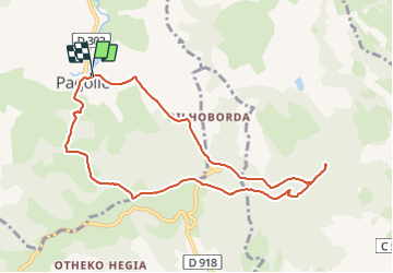
Trail Walking of 9.6 km to be discovered at New Aquitaine, Pyrénées-Atlantiques, Pagolle. This trail is proposed by LouisROGER.

Description

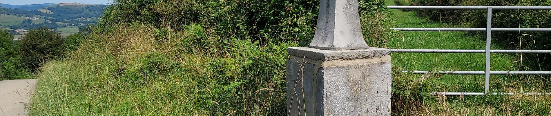
Au départ de Pagolle monter par la D302 vers l'est au carrefour prendre par la barrière et suivre la piste jusqu'aux abreuvoirs .
monter à la chapelle saint Grégoire  où l'ombre vous attend, puis redescendre et remonter au site protohistorique de Gastelusare , le chemin des crêtes vous permettra d'admirer les collines souletines  et au loin sud est une chapelle Saint Antoine (pour retrouver l'esprit?)  et retour à Pagolle .

Elevation profile

Photos

Positioning

Country:
France
Region :
New Aquitaine
Department/Province :
Pyrénées-Atlantiques
Municipality :
Pagolle
Location:
Unknown
Start:(UTM)
663299 ; 4787746 (30T) N.


Close
My subscriptions