


refuge de Presset Cormet de Roselend

edwige84
User
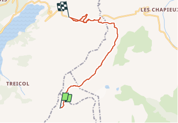

Length
15.4 km
Boucle
No
Creation date :
2023-07-23 06:07:10.399
Updated on :
2023-07-23 14:44:43.676
3h08
Difficulty : Difficult

FREE GPS app for hiking
 SityTrail
IGN / Geographical institutes
SityTrail Plus
The world is yours!
About
Trail Walking of 15.4 km to be discovered at Auvergne-Rhône-Alpes, Savoy, La Plagne-Tarentaise. This trail is proposed by edwige84.
Positioning
Country:
France
Region :
Auvergne-Rhône-Alpes
Department/Province :
Savoy
Municipality :
La Plagne-Tarentaise
Location:
La Côte-d'Aime
Start:(Dec)
Start:(UTM)
317963 ; 5057631 (32T) N.
Comments