


Vernet 2

Christiancordin
User


Length
8.8 km

Max alt
1026 m

Uphill gradient
433 m
Km-Effort
14.9 km

Min alt
643 m

Downhill gradient
552 m
Boucle
No
Creation date :
2023-07-25 13:51:21.736
Updated on :
2023-07-25 16:51:11.928
2h27
Difficulty : Medium

FREE GPS app for hiking
 SityTrail
IGN / Geographical institutes
SityTrail Plus
The world is yours!
About
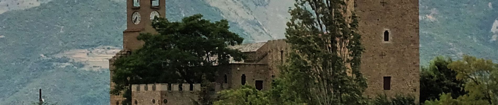
Trail Walking of 8.8 km to be discovered at Occitania, Pyrénées-Orientales, Vernet-les-Bains. This trail is proposed by Christiancordin.
Description
Cascades des anglais et de St Vincent
Photos


Positioning
Country:
France
Region :
Occitania
Department/Province :
Pyrénées-Orientales
Municipality :
Vernet-les-Bains
Location:
Unknown
Start:(Dec)
Start:(UTM)
450617 ; 4710559 (31T) N.
Comments