


cerbère. cap cerbère. coll dels belitras . puig dels frères. cerbère

stef789
User GUIDE


Length
7.4 km

Max alt
233 m

Uphill gradient
307 m
Km-Effort
11.5 km

Min alt
0 m

Downhill gradient
310 m
Boucle
Yes
Creation date :
2023-07-26 12:23:25.348
Updated on :
2023-07-26 15:40:45.523
3h16
Difficulty : Easy

FREE GPS app for hiking
 SityTrail
IGN / Geographical institutes
SityTrail Plus
The world is yours!
About
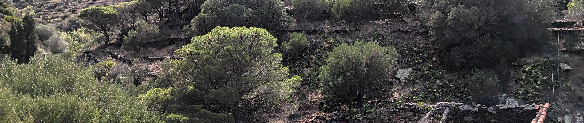
Trail Walking of 7.4 km to be discovered at Occitania, Pyrénées-Orientales, Cerbère. This trail is proposed by stef789.
Photos


Positioning
Country:
France
Region :
Occitania
Department/Province :
Pyrénées-Orientales
Municipality :
Cerbère
Location:
Unknown
Start:(Dec)
Start:(UTM)
514064 ; 4698635 (31T) N.
Comments
promenade agreable , des vu formidable. on le refera l'annee prochaine. nous sommes tres amoureux de votre beau pays Catalan